- Usage in publication:
-
- Noland Formation
- Modifications:
-
- Named
- Dominant lithology:
-
- Limestone
- Dolomite
- Shale
- AAPG geologic province:
-
- Cincinnati arch
Summary:
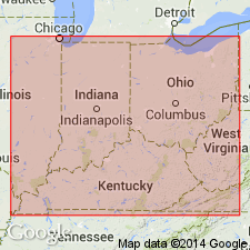
Pg. 7, 8 (fig. 2), 9, 10, 11, 14-23. Noland Formation of Crab Orchard Group. Name proposed to include rocks from top of Brassfield Formation to base of Estill Shale. Consists of limestone, dolomite, and shale. Thickness 39.5 feet at type section where it includes (ascending) Plum Creek Clay, Oldham Limestone, Lulbegrud, and Waco Members. All members not everywhere present. From northern Bath County, Kentucky, to northern Adams County, Indiana, lower part of formation is undifferentiated and in these areas upper part of formation is Dayton Limestone Member. Overlies Brassfield Formation; underlies Estill Shale where not truncated by Devonian unconformity. Age is Silurian.
Type section: along private road and on hillslope in The Bend (of Kentucky River) about 1.6 miles northwestward from College Hill, and north of Waco, 11-P-65, Madison Co., KY. Named from Noland Creek, a tributary of Kentucky River opposite type section.
Source: US geologic names lexicon (USGS Bull. 1350, p. 531); GNU records (USGS DDS-6; Reston GNULEX).

- Usage in publication:
-
- Noland Member
- Modifications:
-
- Revised
- AAPG geologic province:
-
- Cincinnati arch
Summary:
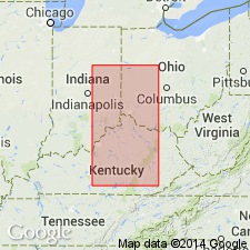
Study of Lower Silurian Brassfield Formation in Cincinnati Arch area. The Noland "Formation" of the Crab Orchard "group" is best evaluated as a member within Brassfield Formation. [Not adopted.]
Source: US geologic names lexicon (USGS Bull. 1350, p. 531).
For more information, please contact Nancy Stamm, Geologic Names Committee Secretary.
Asterisk (*) indicates published by U.S. Geological Survey authors.
"No current usage" (†) implies that a name has been abandoned or has fallen into disuse. Former usage and, if known, replacement name given in parentheses ( ).
Slash (/) indicates name conflicts with nomenclatural guidelines (CSN, 1933; ACSN, 1961, 1970; NACSN, 1983, 2005, 2021). May be explained within brackets ([ ]).

