The National Geologic Map Database is migrating to a new infrastructure. We apologize for any service disruptions during this process.
|
|---|


- Usage in publication:
-
- Nishnabotany sandstone
- Modifications:
-
- Contact revised
- AAPG geologic province:
-
- Forest City basin
Summary:
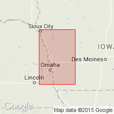
Name applied to exposures that occur at several localities in the East Nishnabotany River valley. [Spelled Nishnabotna on modern maps. Cretaceous exposures mapped near and along the East Nishnabotna River in Page, Montgomery, Pottawatomie and Cass Cos, IA in the Forest City basin on "Geologic map of Iowa, A. C. Tester, 1937"]. Lower contact revised in that Nishnabotany stratigraphically is older than Woodbury sandstones and shales (first used). Beds older than Nishnabotany belong to the Carboniferous. Has a maximum thickness of about 100 ft. Consists of coarse-grained, friable, ferruginous sandstone that has some thin clay and some chert nodules in layers. Some of the sandstone is well indurated. Some of the nodules derived from the Niagara limestone are fossiliferous (corals). The only fossils found in the Nishnabotany are angiosperms. Cretaceous age.
Source: GNU records (USGS DDS-6; Denver GNULEX).
- Usage in publication:
-
- Nishnabotna Member
- Modifications:
-
- Revised
- Overview
- AAPG geologic province:
-
- Iowa shelf
Summary:
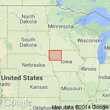
Formerly designated Nishnabotany Sandstones (White, 1870). Spelling changed to Nishnabotna for the river for which it was named. Assigned to the Dakota Formation as its basal member. Is underlain by rocks that range from Pennsylvanian to as old as Precambrian. Underlies Woodbury Member (formerly called Woodbury Sandstones and Shales), upper member of Dakota. Nomenclature diagrams, cross sections, isopach map. Isopach map covers IA area counties from Emmet west to Lyon Co and south to Calhoun Co west to Woodbury Co on the Iowa shelf. Ranges from 0 to 300 ft thick. Consists of medium- to coarse-grained friable quartz arenite to sublitharenite. May be micaceous. May include shale, claystone, sandstone, conglomerate, and rarely lignites. Locally pyrite and iron oxide cement. Coarsening-and fining-upward sequences present. May have been deposited by a braided stream. Cretaceous age.
Source: GNU records (USGS DDS-6; Denver GNULEX).
For more information, please contact Nancy Stamm, Geologic Names Committee Secretary.
Asterisk (*) indicates published by U.S. Geological Survey authors.
"No current usage" (†) implies that a name has been abandoned or has fallen into disuse. Former usage and, if known, replacement name given in parentheses ( ).
Slash (/) indicates name conflicts with nomenclatural guidelines (CSN, 1933; ACSN, 1961, 1970; NACSN, 1983, 2005, 2021). May be explained within brackets ([ ]).