The National Geologic Map Database is migrating to a new infrastructure. We apologize for any service disruptions during this process.
|
|---|


- Usage in publication:
-
- Ninnescah shale member
- Modifications:
-
- Original reference
- Dominant lithology:
-
- [Shale]
- AAPG geologic province:
-
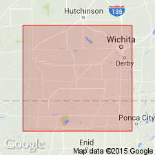
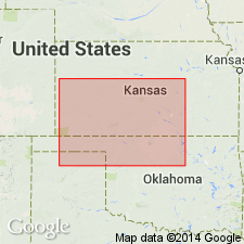
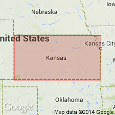
- Sedgwick basin
Summary:
Pg. 1557. Ninnescah shale member of Harper sandstone. Basal member of Harper. Underlies Stone Corral member; overlies Milan limestone member of Wellington shale. Near Oklahoma line, lower three-fourths of Ninnescah shale, which totals 290 to 390 feet, grades irregularly and rapidly into sandstones and conglomerates of the Garber of Oklahoma. Age is Permian. Present in southern Kansas and northern Oklahoma.
[Named from exposures on both forks of Ninnescah River in south-central Reno and north-central Kingman Cos., KS.]
Source: US geologic names lexicon (USGS Bull. 1200, p. 2747).
- Usage in publication:
-
- Ninnescah shale*
- Modifications:
-
- Revised
- AAPG geologic province:
-
- Anadarko basin
- Sedgwick basin
Summary:
Pg. 1667-1773. Ninnescah shale. Rank raised to formation. Constitutes basal formation of Cimarron redbeds. Composed largely of red shale; minor amount of gray shale beds and thin impure limestone beds, and beds of calcareous sandstone and sand, which maintain their lithologic character in a wide area; seven of these beds are scarp-forming. About 425 feet thick near Oklahoma line; thins to 280 feet 50 miles farther north. At northernmost outcrop, topmost bed is Runnymede sandstone (new). Age is Permian.
Source: US geologic names lexicon (USGS Bull. 1200, p. 2747).
- Usage in publication:
-
- Ninnescah shale
- Modifications:
-
- Revised
- AAPG geologic province:
-
- Sedgwick basin
Summary:
Pg. 159-160. Ninnescah shale assigned to Sumner group, Leonard series.
Source: US geologic names lexicon (USGS Bull. 1200, p. 2747).
For more information, please contact Nancy Stamm, Geologic Names Committee Secretary.
Asterisk (*) indicates published by U.S. Geological Survey authors.
"No current usage" (†) implies that a name has been abandoned or has fallen into disuse. Former usage and, if known, replacement name given in parentheses ( ).
Slash (/) indicates name conflicts with nomenclatural guidelines (CSN, 1933; ACSN, 1961, 1970; NACSN, 1983, 2005, 2021). May be explained within brackets ([ ]).