The National Geologic Map Database is migrating to a new infrastructure. We apologize for any service disruptions during this process.
|
|---|


- Usage in publication:
-
- Nilkoka beds, formation*
- Modifications:
-
- Named
- Dominant lithology:
-
- Conglomerate
- Sandstone
- Slate
- AAPG geologic province:
-
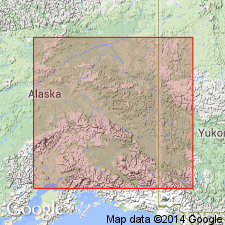
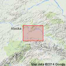
- Alaska East-Central region
Summary:
Exposed on bluffs of Lower Tanana River between Nilkoka River and Baker Creek, east-central AK. Consists of fine quartz conglomerate and sandstones, with red and green clay slates. Upper part seems more argillaceous and lower part more arenaceous. Whole unit is closely folded with little evidence of metamorphism. Is younger than Tanana schists; probably unconformably overlies Tanana schists. No fossils found in rocks; hence there is little clue to their age.
Source: GNU records (USGS DDS-6; Menlo GNULEX).
- Usage in publication:
-
- Nilkoka Group*
- Modifications:
-
- Revised
- Age modified
- AAPG geologic province:
-
- Alaska East-Central region
Summary:
Nilkoka beds/formation of Brooks (1900) is revised [raised in rank] to Nilkoka Group. Type locality designated as west bank of Tanana River downstream from mouth of Tolovana River. Is underlying bedrock in most of area west of Tolovana River and north of Tanana. Divided into two lithologic units shown separately on geologic map of Fairbanks (1:250,000) quad: grit, argillite, quartzite, limestone unit and chert, siliceous shale unit. Age is uncertain but is believed to be Precambrian or early Paleozoic.
Source: GNU records (USGS DDS-6; Menlo GNULEX).
For more information, please contact Nancy Stamm, Geologic Names Committee Secretary.
Asterisk (*) indicates published by U.S. Geological Survey authors.
"No current usage" (†) implies that a name has been abandoned or has fallen into disuse. Former usage and, if known, replacement name given in parentheses ( ).
Slash (/) indicates name conflicts with nomenclatural guidelines (CSN, 1933; ACSN, 1961, 1970; NACSN, 1983, 2005, 2021). May be explained within brackets ([ ]).