

- Usage in publication:
-
- Newport group
- Modifications:
-
- Original reference
- Dominant lithology:
-
- Sandstone
- Argillite
- Quartzite
- AAPG geologic province:
-
- Northern Cascade Range-Okanagan province
Summary:
Pg. 7 (table), 9, 19, pl. 1. Newport group. Name applied to about 29,000 feet of argillaceous sandstones, argillite, quartzitic sandstones, quartzites, and carbonate rocks cropping out in area. Comprises (ascending, all new) Bead Lake formation, No Name argillite, and Skookum formation. Neither base nor top of group observed in map area. Probably equivalent in age to pre-Cambrian Beltian formations exposed near Lake Pend Oreille in the Clark Fork district of Idaho (see A.L. Anderson, 1930, Idaho Bur. Mines. Geol. Bull., no. 12).
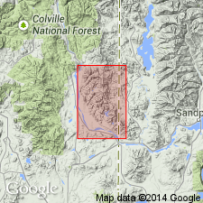
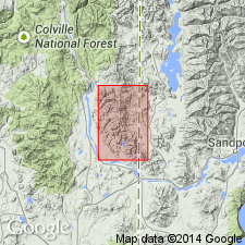
Named from exposures near Newport, [Newport 7.5-min quadrangle], Pend Oreille Co., northeastern WA.
Source: Publication; US geologic names lexicon (USGS Bull. 1200, p. 2728).
- Usage in publication:
-
- Newport Group†
- Modifications:
-
- Abandoned
- AAPG geologic province:
-
- Northern Cascade Range-Okanagan province
Summary:
Pg. 1 (pamphlet), geol. map. †Newport Group of Schroeder (1952) abandoned. Belt rocks here can be correlated directly with those in Coeur d'Alene district, Idaho (see Hobbs and others, 1965, USGS Prof. Paper 478) and around Lake Pend Oreille, Idaho (see Harrison and Jobin, 1963, USGS Bull. 1141-K, and 1965, USGS Geol. Quad. Map GQ-375). Therefore, the names Newport Group, Bead Lake Formation, No Name Argillite, and Skookum Formation proposed by Schroeder (1952, p. 9) are abandoned in favor of the older and more widely used Belt terminology. [The distinctive purple to white quartzites at top of Schroeder's †Skookum Formation (†Moon Hill Quartzite Member) are mapped as Cambrian Addy Quartzite. See geologic map; see also F.K. Miller, Prelim. geol. map Newport No. 2 quad., Pend Oreille and Sevens Cos., WA, Washington Div. Geol. Earth Sci. Geol. Map, GM-8, 1974, and F.K. Miller, Prelim. geol. map Newport No. 3 quad., Pend Oreille, Sevens, and Spokane Cos., WA, Washington Div. Geol. Earth Sci. Geol. Map, GM-9, 1974.]
Source: Publication.
For more information, please contact Nancy Stamm, Geologic Names Committee Secretary.
Asterisk (*) indicates published by U.S. Geological Survey authors.
"No current usage" (†) implies that a name has been abandoned or has fallen into disuse. Former usage and, if known, replacement name given in parentheses ( ).
Slash (/) indicates name conflicts with nomenclatural guidelines (CSN, 1933; ACSN, 1961, 1970; NACSN, 1983, 2005, 2021). May be explained within brackets ([ ]).