- Usage in publication:
-
- Newby glauconitic sand member
- Modifications:
-
- Original reference
- Dominant lithology:
-
- Sandstone
- AAPG geologic province:
-
- East Texas basin
Summary:
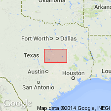
Pg. 20 (table), 65-71. Newby glauconitic sand member of Reklaw formation. In some areas, consists of light-yellow or pink and only slightly ferruginous friable sandstone with many layers of red-brown harder crinkly-bedded highly ferruginous glauconitic sandstone partings; elsewhere consists of alternating thin layers of slightly glauconitic sand, glauconitic brown shale, and brown clay-ironstone layers. Thickness about 20 feet. Gradationally underlies Marquez shale member (new); overlies Carrizo sand, boundary (in Leon County) placed where first highly ferruginous glauconitic and fossiliferous sandstones of Newby appear above less ferruginous nonglauconitic and nonfossiliferous sandstones of Carrizo. [Age is middle Eocene.]
Source: US geologic names lexicon (USGS Bull. 1200, p. 2717).

- Usage in publication:
-
- Newby Glauconitic sand member
- Modifications:
-
- Areal extent
- Dominant lithology:
-
- Sandstone
- AAPG geologic province:
-
- East Texas basin
Summary:
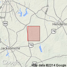
Pg. 34-78, pl. 1. Newby glauconitic sand member of Recklaw formation. Described in Henrys Chapel quadrangle.
Source: US geologic names lexicon (USGS Bull. 1200, p. 2717).

- Usage in publication:
-
- Newby Member
- Modifications:
-
- Areal extent
- AAPG geologic province:
-
- East Texas basin
Summary:
Newby Member of Reklaw Formation. Quartz sand and clay, glauconitic, grayish green, weathers moderate brown and dark yellowish orange, some clay ironstone ledges and rubble; forms low scarp. Thickness about 80 feet, forms fairly narrow prairie. Basal member of Reklaw. Lies above Carrizo Sand and below Marquez Member of Reklaw. Age is Eocene.
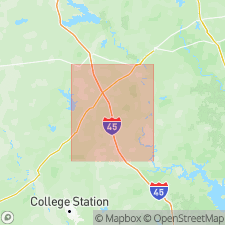
Not separately mapped. (Reklaw Formation [undivided] mapped in Robertson, Leon, and Freestone Cos., eastern TX.)
Source: Publication.
- Usage in publication:
-
- Newby Sand Member
- AAPG geologic province:
-
- East Texas basin
GNC Staff, 2005, [U.S. Geologic Names Committee remarks on usage of Newby Sand Member]: U.S. Geological Survey, unpublished Geologic Names Committee note
Summary:
The Texas Bureau of Economic Geology, and other state agencies, assign the Newby Member to the Reklaw Formation of the Claiborne Group, and state that it overlies the Carrizo Sand, and in subsurface can be "difficult to distinguish from the underlying Carrizo."
See entry under Stenzel, 1938. See also:
D.E. White, 1973, Groundwater resources of Rains and Van Zandt Counties, Texas: Texas Water Development Board Report 169, 44 p.;
W.B. Ayers, Jr., and A.H. Lewis, 1985, The Wilcox Group and Carrizo Sand (Paleogene) in east-central Texas; depositional systems and deep-basin lignite: University of Texas-Austin, Bureau of Economic Geology, Geologic and Hydrologic Folios, Wilcox Group, East Texas, 19 p., 30 pl.
Source: N.R. Stamm, compiler, US geologic names lexicon, Geolex.
For more information, please contact Nancy Stamm, Geologic Names Committee Secretary.
Asterisk (*) indicates published by U.S. Geological Survey authors.
"No current usage" (†) implies that a name has been abandoned or has fallen into disuse. Former usage and, if known, replacement name given in parentheses ( ).
Slash (/) indicates name conflicts with nomenclatural guidelines (CSN, 1933; ACSN, 1961, 1970; NACSN, 1983, 2005, 2021). May be explained within brackets ([ ]).

