

- Usage in publication:
-
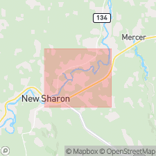
- New Sharon beds
- Modifications:
-
- Revised
- Dominant lithology:
-
- Silt
- Gravel
- AAPG geologic province:
-
- New England province
Summary:
The term Sandy River diamicton replaces the Sandy River till of Caldwell (1959) and includes the Sandy River till equivalents discussed in this study. The informal term New Sharon till (Caldwell, 1959) is discontinued and the informal term New Sharon beds is proposed for the organic-bearing silt and gravel at New Sharon. The complex glaciogenic facies exposed at New Sharon have previously been interpreted to represent several glacial events separated by interglacial periods. This author, however, demonstrates that the units represent glaciolacustrine and glacial deposits from a single late Wisconsinan ice advance. The allochthonous New Sharon beds are separated from the overlying Sandy River diamicton by glacial Lake Caldwell and proglacial deposits.
Source: GNU records (USGS DDS-6; Reston GNULEX).
For more information, please contact Nancy Stamm, Geologic Names Committee Secretary.
Asterisk (*) indicates published by U.S. Geological Survey authors.
"No current usage" (†) implies that a name has been abandoned or has fallen into disuse. Former usage and, if known, replacement name given in parentheses ( ).
Slash (/) indicates name conflicts with nomenclatural guidelines (CSN, 1933; ACSN, 1961, 1970; NACSN, 1983, 2005, 2021). May be explained within brackets ([ ]).