The National Geologic Map Database is migrating to a new infrastructure. We apologize for any service disruptions during this process.
|
|---|


- Usage in publication:
-
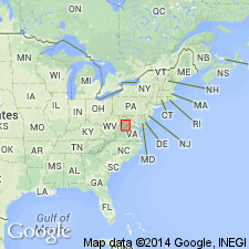
- New Market limestone
- Modifications:
-
- Named
- Dominant lithology:
-
- Limestone
- AAPG geologic province:
-
- Appalachian basin
Summary:
Named New Market limestone for New Market, Shenandoah Co., VA. Unit is a succession of predominantly dense fine-grained limestone above the Beekmantown and below the dark-gray limestones of the DINORTH ATAVOIDES zone (Lincolnshire limestone). Consists mainly of dove-gray high-calcium limestone. At the type section, two divisions are recognizable, a lower zone composed of thin-bedded dove-gray calcilutite with a few feet of limestone- and dolomite-pebble conglomerate at base, and an upper thick to massive and nearly free of insoluble matter zone. The New Market is thickest on west side of Massanutten syncline where it is as much as 250 feet thick; generally it is 75-100 feet thick. Unit is thinner on east side of Massanutten Mountain where it is locally absent. The New Market is essentially the same unit identified as Mosheim by Butts. It is considered of Middle Ordovician age.
Source: GNU records (USGS DDS-6; Reston GNULEX).
- Usage in publication:
-
- New Market limestone*
- Modifications:
-
- Areal extent
- Revised
- AAPG geologic province:
-
- Appalachian basin
Summary:
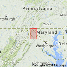
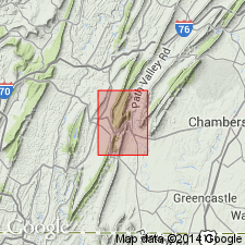
The New Market limestone is included in the St. Paul group (new) and geographically extended into West Virginia, Maryland, and Pennsylvania. The redescribed type section includes dolomitic beds intercalated with limestone at base of section. The unit at its type locality consists of dove vaughanite with some strata of darker fine-grained limestone, and beds of dolomitic and argillaceous limestone in the lower part. Strata are traced continuously from the type section into southern Pennsylvania. Unit overlies the Beekmantown dolomite and underlies the Lincolnshire limestone. In some cases to the north the Lincolnshire is absent and the Chambersburg or Edinburg overlies the New Market. In some places to north of type locality the Row Park limestone underlies the New Market. Average thickness is 150 feet.
Source: GNU records (USGS DDS-6; Reston GNULEX).
- Usage in publication:
-
- New Market Formation
- Modifications:
-
- Revised
- AAPG geologic province:
-
- Appalachian basin
Summary:
Revised New Market to New Market Formation of St. Pauls Group in Pennsylvania. Publication includes 12 measured sections.
Source: GNU records (USGS DDS-6; Reston GNULEX).

- Usage in publication:
-
- New Market Limestone*
- Modifications:
-
- Biostratigraphic dating
- AAPG geologic province:
-
- Appalachian basin
Summary:
Conodont biostratigraphy indicates that the New Market Limestone in the Winchester 30 X 60 minute quadrangle is of Middle Ordovician (Whiterockian and possibly earliest Blackriveran) age. Conodonts were recovered from the C. FRIENDSVILLENSIS Zone to the lowermost PL. ACULEATA Zone.
Source: GNU records (USGS DDS-6; Reston GNULEX).
For more information, please contact Nancy Stamm, Geologic Names Committee Secretary.
Asterisk (*) indicates published by U.S. Geological Survey authors.
"No current usage" (†) implies that a name has been abandoned or has fallen into disuse. Former usage and, if known, replacement name given in parentheses ( ).
Slash (/) indicates name conflicts with nomenclatural guidelines (CSN, 1933; ACSN, 1961, 1970; NACSN, 1983, 2005, 2021). May be explained within brackets ([ ]).