- Usage in publication:
-
- New Haven arkose
- Modifications:
-
- Named
- Dominant lithology:
-
- Sandstone
- Arkose
- Conglomerate
- AAPG geologic province:
-
- New England province
- Hartford basin
Summary:
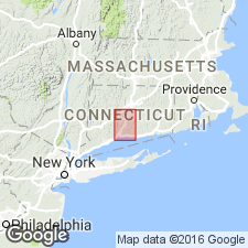
Coarse fluvial sediments consisting of a lower white and gray arkose member with basal conglomerate bed and an upper pink arkose and red feldspathic sandstone member are named New Haven Arkose of the Newark Group in Conn. It includes all the sediments underlying the lower lava sheet of the Meriden Formation. Overlies older gneiss and schist. Thickness is 5,000 ft (1,500 m) near Meriden and 9,000 ft (2,700 m) near New Haven where the beds may be repeated by faulting. Age is Late Triassic.
Source: GNU records (USGS DDS-6; Reston GNULEX).
- Usage in publication:
-
- New Haven arkose*
- Modifications:
-
- Overview
- AAPG geologic province:
-
- New England province
- Hartford basin
Summary:
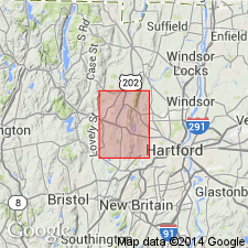
New Haven Arkose of the Newark Group is here accepted for use by the U.S. Geological Survey. It unconformably overlies older crystalline rocks and conformably underlies the Talcott Basalt.
Source: GNU records (USGS DDS-6; Reston GNULEX).
- Usage in publication:
-
- New Haven Arkose*
- Modifications:
-
- Areal extent
- Revised
- AAPG geologic province:
-
- New England province
- Hartford basin
Summary:
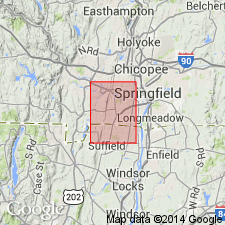
The New Haven Arkose is extended from north central Connecticut to west central Massachusetts where it is assigned to rocks mapped by Emerson (1898) as Longmeadow Sandstone and Sugarloaf Arkose.
Source: GNU records (USGS DDS-6; Reston GNULEX).
- Usage in publication:
-
- New Haven Arkose
- Modifications:
-
- Biostratigraphic dating
- Age modified
- AAPG geologic province:
-
- New England province
- Hartford basin
Summary:
The age of the New Haven Arkose is late Carnian or early Norian through earliest Jurassic, based on palynomorphs.
Source: GNU records (USGS DDS-6; Reston GNULEX).

- Usage in publication:
-
- New Haven Arkose*
- Modifications:
-
- Overview
- AAPG geologic province:
-
- New England province
- Hartford basin
- Pomperaug basin
Summary:
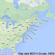
Used as New Haven Arkose of Late Triassic and Early Jurassic age. The Late Triassic-Early Jurassic boundary is arbitrarily drawn through clastic rocks of similar lithology below a Lower Jurassic palynofloral zone in gray mudstone in the uppermost part of the New Haven. The New Haven is continuous with and lithologically similar to the Sugarloaf Formation in the Deerfield basin. In Massachusetts the New Haven underlies the Shuttle Meadow Formation. The Hitchcock Volcanics at Mount Hitchcock is intrusive into arkose of the New Haven.
Source: GNU records (USGS DDS-6; Reston GNULEX).
- Usage in publication:
-
- New Haven Arkose*
- Modifications:
-
- Revised
- AAPG geologic province:
-
- New England province
- Hartford basin
- Pomperaug basin
Summary:
Assigned to Newark Supergroup.
Source: GNU records (USGS DDS-6; Reston GNULEX).
- Usage in publication:
-
- New Haven Arkose
- Modifications:
-
- Overview
- AAPG geologic province:
-
- Pomperaug basin
- Hartford basin
Summary:
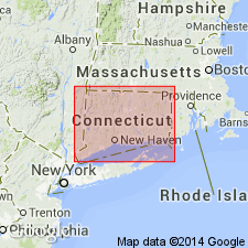
The New Haven Arkose of the Newark Supergroup is mapped in the Hartford and Pomperaug basins, where it underlies the Talcott Basalt or, where the Talcott pinches out to the north, the Shuttle Meadow Formation. Age is Late Triassic.
Source: GNU records (USGS DDS-6; Reston GNULEX).
For more information, please contact Nancy Stamm, Geologic Names Committee Secretary.
Asterisk (*) indicates published by U.S. Geological Survey authors.
"No current usage" (†) implies that a name has been abandoned or has fallen into disuse. Former usage and, if known, replacement name given in parentheses ( ).
Slash (/) indicates name conflicts with nomenclatural guidelines (CSN, 1933; ACSN, 1961, 1970; NACSN, 1983, 2005, 2021). May be explained within brackets ([ ]).

