- Usage in publication:
-
- New Egypt formation
- Modifications:
-
- First used
- Dominant lithology:
-
- Sand
- AAPG geologic province:
-
- Atlantic Coast basin
Summary:
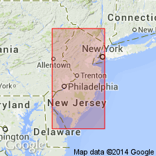
Navesink, Redbank, Tinton, New Egypt, and Hornerstown formations studied. The New Egypt of outcrop area is a lateral equivalent of Tinton formation and in subsurface represents both the Tinton and Hornerstown. Cretaceous-Tertiary boundary is marked by spheroidal weathering at surface in northern part of outcrop area (Tinton and Hornerstown formations) but apparently lies within a lithic unit in the subsurface (New Egypt sand); deposition appears to have been unbroken here. Paleocene-Eocene boundary also lies within a lithic unit (Hornerstown and New Egypt formations).
Source: GNU records (USGS DDS-6; Reston GNULEX).

- Usage in publication:
-
- New Egypt glauconitic sands
- Modifications:
-
- Named
- Dominant lithology:
-
- Sand
- AAPG geologic province:
-
- Atlantic Coast basin
Summary:
New Egypt glauconite sands is a new name in this report for sequence that replaces Tinton sand near New Egypt, Monmouth Co. Microfauna of lower part of New Egypt, which is equivalent in age to the Tinton and grades laterally into it, is clearly Cretaceous (probably post-Navarroan). Upper part contains Tertiary planktonic zones identical to those found in the Hornerstown and are here determined to be Paleocene and early Eocene.
Source: GNU records (USGS DDS-6; Reston GNULEX).

- Usage in publication:
-
- New Egypt Formation
- Modifications:
-
- Overview
- AAPG geologic province:
-
- Atlantic Coast basin
Summary:
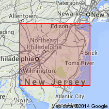
New Egypt Formation was originally defined as lithologic unit that showed facies relations with Hornerstown and Tinton Formations. Additional studies indicate formation also bears facies relations with Navesink and Redbank Formations. Overlies Mount Laurel Formation; underlies Vincentown Formation. Thickness 30 to 35 ft in surface exposures.
Source: GNU records (USGS DDS-6; Reston GNULEX).

- Usage in publication:
-
- New Egypt Formation
- Modifications:
-
- Overview
- AAPG geologic province:
-
- Atlantic Coast basin
Summary:
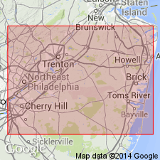
The New Egypt Formation of the Monmouth Group is a dark gray to chocolate brown massive burrowed glauconitic clayey sand to sandy glauconitic clay, indurated locally by siderite, and containing quartz as a minor constituent. Unit occurs only in southern Monmouth Co. and outcrops along Crosswicks Creek north of New Egypt. Surface exposures are 30 to 35 ft thick. Reaches 90 ft in the subsurface. Merges with the equivalent Navesink, Red Bank, and Tinton Formations of the Monmouth to the northeast. Overlies Mount Laurel Formation, also of Monmouth Group, and underlies Hornerstown Formation of the Rancocas Group. Age is middle to late Maastrichtian according to Jordan and Smith (1983).
Source: GNU records (USGS DDS-6; Reston GNULEX).
For more information, please contact Nancy Stamm, Geologic Names Committee Secretary.
Asterisk (*) indicates published by U.S. Geological Survey authors.
"No current usage" (†) implies that a name has been abandoned or has fallen into disuse. Former usage and, if known, replacement name given in parentheses ( ).
Slash (/) indicates name conflicts with nomenclatural guidelines (CSN, 1933; ACSN, 1961, 1970; NACSN, 1983, 2005, 2021). May be explained within brackets ([ ]).

