- Usage in publication:
-
- Nesson formation
- Modifications:
-
- Named
- Dominant lithology:
-
- Anhydrite
- Shale
- Dolomite
- Limestone
- AAPG geologic province:
-
- Williston basin
Summary:
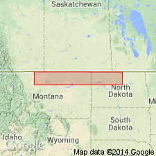
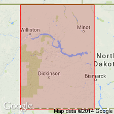
Proposed for sequence of carbonates and evaporates which underlies Tampico shale member (new) of Piper formation in Williston basin area. Over most of basin, unconformably overlies Triassic? Spearfish formation. Type section: Between depths of 5,730 to 5,990 ft in Amerada No.1 Clarence Inversion well, center SW1/4 SW1/4 sec 6, T155N, R95W, Williams Co, ND in Williston basin. Is 260 ft thick at type section, where three members are recognized: a 110-ft basal unit of interbedded anhydrite, red shale and gray earthy dolomite which becomes sandy at the top, a medial 25-ft unit of varicolored shale, and an upper 125-ft unit of tan to light-brown, dense limestone which contains a few minor stringers of predominantly red shale. These three units or members can be mapped and identified throughout most of the Williston basin and are named in ascending order: Poe evaporite member; Picard shale member; and Kline member. Pinches out by nondeposition on the west side of Bowdoin dome. Wedges out in similar fashion in the subsurface northeast of the Big Snowy platform. Has no apparent equivalent in the Piper type section on the north flank of the Big Snowy Mountains. Is of Early? and Middle Jurassic age.
Source: GNU records (USGS DDS-6; Denver GNULEX).

- Usage in publication:
-
- Nesson Formation
- Modifications:
-
- Not used
Summary:
Recommends that the name not be used in western ND. Piper Formation retained in its place.
Source: GNU records (USGS DDS-6; Denver GNULEX).

- Usage in publication:
-
- Nesson Formation*
- Modifications:
-
- Overview
- Revised
- AAPG geologic province:
-
- Williston basin
Summary:
Assigned in central and eastern MT and western ND, Williston basin. Includes (ascending): Poe Evaporite, Picard, and Kline Members. Possibility of a disconformity at top suggested by presence of chert pebbles at top of equivalent lower member of Gravelburg Formation in SA, Canada. Correlation with Gypsum Spring Formation rather than with parts of the surface Piper Formation is favored by the greater stratigraphic and lithologic resemblances of members of Nesson Formation to the successive units of Gypsum Spring Formation. Is Middle Jurassic (Bajocian) in age. Summarizes lithology, basis for dating, distribution, and correlation.
Source: GNU records (USGS DDS-6; Denver GNULEX).
For more information, please contact Nancy Stamm, Geologic Names Committee Secretary.
Asterisk (*) indicates published by U.S. Geological Survey authors.
"No current usage" (†) implies that a name has been abandoned or has fallen into disuse. Former usage and, if known, replacement name given in parentheses ( ).
Slash (/) indicates name conflicts with nomenclatural guidelines (CSN, 1933; ACSN, 1961, 1970; NACSN, 1983, 2005, 2021). May be explained within brackets ([ ]).

