- Usage in publication:
-
- Nelchina limestone*
- Modifications:
-
- Named
- Dominant lithology:
-
- Limestone
- AAPG geologic province:
-
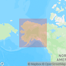
- Alaska Southern region
Martin, G.C., 1926, Mesozoic stratigraphy of Alaska: U.S. Geological Survey Bulletin, 776, 493 p.
Summary:
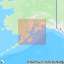
Occurs in several isolated areas, mostly small, on hilltops at headwaters of Nelchina River and of Billy Creek, Matanuska Valley, southern AK. Consists of massive dark-colored fine-grained unaltered limestone separated by thin laminae of gray shale; some beds are highly siliceous and probably ought to be called calcareous sandstone. Thickness ranges from 100 to 300 or 400 ft. Overlies with apparent conformity Lower Cretaceous tuff and conglomerate; at some places is unconformably overlain by Tertiary conglomerate. The Upper Cretaceous strata that crop out on Billy Creek were not observed in contact with the limestone. In general is unfossiliferous. Age given as Early Cretaceous.
Source: GNU records (USGS DDS-6; Menlo GNULEX).

- Usage in publication:
-
- Nelchina limestone*
- Modifications:
-
- Age modified
- AAPG geologic province:
-
- Alaska Southern region
Summary:
Columnar section shows Nelchina limestone to be Valanginian (Early Cretaceous) in age.
Source: GNU records (USGS DDS-6; Menlo GNULEX).
For more information, please contact Nancy Stamm, Geologic Names Committee Secretary.
Asterisk (*) indicates published by U.S. Geological Survey authors.
"No current usage" (†) implies that a name has been abandoned or has fallen into disuse. Former usage and, if known, replacement name given in parentheses ( ).
Slash (/) indicates name conflicts with nomenclatural guidelines (CSN, 1933; ACSN, 1961, 1970; NACSN, 1983, 2005, 2021). May be explained within brackets ([ ]).

