

- Usage in publication:
-
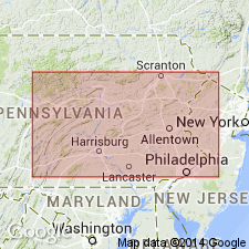
- Needmore shale
- Modifications:
-
- Named
- Dominant lithology:
-
- Shale
- Limestone
- AAPG geologic province:
-
- Appalachian basin
Summary:
Needmore shale proposed for dark- to medium-gray limy shale in Fulton Co., PA. Weathers greenish, olive, or olive drab. Limestone present as thin beds, lenses, and nodules; more plentiful in upper part. Contains Beaver Dam black shale member (new name) near middle in western Mifflin Co., PA. Thickness generally 100 to 150 ft west of Susquehanna River. Disconformably overlies Oriskany group. Underlies Selinsgrove limestone with gradational contact and supplants it southward; distinguished from Selinsgrove by greater portion of argillaceous material. Assigned to Onondaga group. Needmore is the Selinsgrove shale of White (1883).
Source: GNU records (USGS DDS-6; Reston GNULEX).
- Usage in publication:
-
- Needmore Formation
- Modifications:
-
- Overview
- AAPG geologic province:
-
- Appalachian basin
Summary:
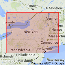
Selinsgrove Limestone Member, upper member of Needmore Shale (central PA), is direct equivalent of Onondaga Limestone of western and central NY. Also equivalent to Buttermilk Falls Limestone of eastern PA. Underlying strata of Needmore are therefore equivalent to the older Esopus to Schoharie Formations of NY.
Source: GNU records (USGS DDS-6; Reston GNULEX).

- Usage in publication:
-
- Needmore Shale*
- Modifications:
-
- Biostratigraphic dating
- AAPG geologic province:
-
- Appalachian basin
Summary:
Conodont biostratigraphy indicates that the Needmore Shale is of Early and earliest Middle Devonian age. Conodonts from the overlying Tioga Ash Bed suggest that the top of the Needmore is within the PO. C. COSTATUS Zone of Middle Devonian age.
Source: GNU records (USGS DDS-6; Reston GNULEX).
For more information, please contact Nancy Stamm, Geologic Names Committee Secretary.
Asterisk (*) indicates published by U.S. Geological Survey authors.
"No current usage" (†) implies that a name has been abandoned or has fallen into disuse. Former usage and, if known, replacement name given in parentheses ( ).
Slash (/) indicates name conflicts with nomenclatural guidelines (CSN, 1933; ACSN, 1961, 1970; NACSN, 1983, 2005, 2021). May be explained within brackets ([ ]).