

- Usage in publication:
-
- Navarro stage
- Modifications:
-
- First used
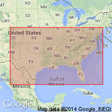
- AAPG geologic province:
-
- East Texas basin
Summary:
First used as a provincial time-rock subdivision (stage) of the Gulfian to include all beds in the Atlantic and Gulf coastal province that can be demonstrated to be equivalent to the type Navarro and its typical units. Considered correlative with the Maestrichtian and possibly part of the lower Danian of Europe. Contains EXOGYRA CANCELLATA and E. COSTATA zones. Above Tayloran stage; below Midway stage. Also called Navarroan.
Source: GNU records (USGS DDS-6; Denver GNULEX).
- Usage in publication:
-
- Navarroan provincial stage
- Modifications:
-
- Paleomagnetics
- AAPG geologic province:
-
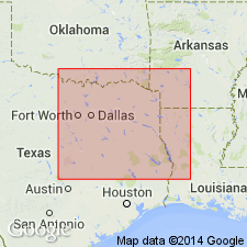
- Ouachita folded belt
- Arkla basin
Summary:
Interpretation of preliminary paleomagnetic (a.f. demagnetized) and biostratigraphic data from Upper Cretaceous deposits in southwest AR and northeast TX (Arkla basin and Ouachita tectonic belt province) is presented. It is concluded that the Tayloran-Navarroan provincial stage boundary is probably within the upper part of the Gubbio (Italy) normal polarity zone B+ (Campanian to early Maestrichtian).
Source: GNU records (USGS DDS-6; Denver GNULEX).
For more information, please contact Nancy Stamm, Geologic Names Committee Secretary.
Asterisk (*) indicates published by U.S. Geological Survey authors.
"No current usage" (†) implies that a name has been abandoned or has fallen into disuse. Former usage and, if known, replacement name given in parentheses ( ).
Slash (/) indicates name conflicts with nomenclatural guidelines (CSN, 1933; ACSN, 1961, 1970; NACSN, 1983, 2005, 2021). May be explained within brackets ([ ]).