

- Usage in publication:
-
- Nation River formation*
- Modifications:
-
- Named
- Dominant lithology:
-
- Conglomerate
- Sandstone
- Shale
- Coal
- AAPG geologic province:
-
- Alaska East-Central region
Summary:
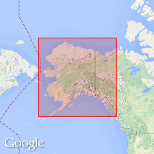
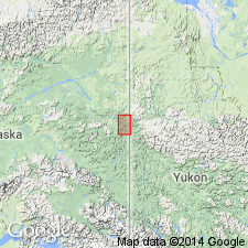
Typically exposed along Nation River, east-central AK. Shown on sketch map of upper Yukon. Includes 3700 ft of gray, clay shales with some clay slates interpolated with heavy beds of conglomerate and sandstone, and some small seams of bituminous coal. Unconformably overlies Calico Bluff formation (new); unconformably (?) underlies heavy limestone of late Carboniferous age. Contains few plant fragments of Carboniferous age.
Source: GNU records (USGS DDS-6; Menlo GNULEX).
- Usage in publication:
-
- Nation River Formation*
- Modifications:
-
- Age modified
- Overview
- AAPG geologic province:
-
- Alaska East-Central region
Summary:
Age of unit is Late Devonian based on palynological evidence described by Scott and Doher (1967). Stratigraphic position is charted according to various authors. This report shows Nation River Formation grades downward into Devonian McCann Hill Chert; underlies unnamed shale and chert formation of Late Devonian and Mississippian age which in turn underlies Calico Bluff Formation of Late Mississippian age. Geologic sketch maps of Calico Bluff and Nation River areas and of type localities of Nation River and Tahkandit Formations included in report.
Source: GNU records (USGS DDS-6; Menlo GNULEX).
For more information, please contact Nancy Stamm, Geologic Names Committee Secretary.
Asterisk (*) indicates published by U.S. Geological Survey authors.
"No current usage" (†) implies that a name has been abandoned or has fallen into disuse. Former usage and, if known, replacement name given in parentheses ( ).
Slash (/) indicates name conflicts with nomenclatural guidelines (CSN, 1933; ACSN, 1961, 1970; NACSN, 1983, 2005, 2021). May be explained within brackets ([ ]).