The National Geologic Map Database is migrating to a new infrastructure. We apologize for any service disruptions during this process.
|
|---|


- Usage in publication:
-
- Nasset Bentonite Bed
- Modifications:
-
- Original reference
- Dominant lithology:
-
- Bentonite
- AAPG geologic province:
-
- Iowa shelf
Summary:
Pg. 50. Nasset Bentonite Bed of Sherwood Member of Dunleith Formation, and Nasset Bentonite Bed of Loves Park Member of Dunleith Formation (in Illinois). Present in Iowa and Illinois. Consists of bentonite clay, 0.07 m thick. At type section, overlies and underlies limestone units in lower part of Sherwood Member. Age is Middle Ordovician.
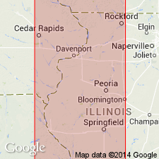
Type section: Engineers Old Cut section, stream diversion channel, 2.4 km west of Decorah, in SE/4 NE/4 sec. 18, T. 98 N., R. 8 W., [approx. Lat. 43 deg. 18 min. 24 sec. N., Long. 91 deg. 49 min. 32 sec. W., Decorah 7.5-min quadrangle], Winneshiek Co., northeast IA.
Named from town of Nasset, 12.8 km east of type section.
Source: US geologic names lexicon (USGS Bull. 1564, p. 117).
For more information, please contact Nancy Stamm, Geologic Names Committee Secretary.
Asterisk (*) indicates published by U.S. Geological Survey authors.
"No current usage" (†) implies that a name has been abandoned or has fallen into disuse. Former usage and, if known, replacement name given in parentheses ( ).
Slash (/) indicates name conflicts with nomenclatural guidelines (CSN, 1933; ACSN, 1961, 1970; NACSN, 1983, 2005, 2021). May be explained within brackets ([ ]).