

- Usage in publication:
-
- Nasorak Formation*
- Modifications:
-
- Named
- Dominant lithology:
-
- Shale
- Limestone
- AAPG geologic province:
-
- Alaska Northern region
Summary:
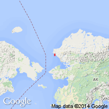
Named from outcrops in sea cliffs near mouth of Nasorak Creek, Chariot Test Site in vicinity of Cape Thompson, northwestern AK. Is basal formation of Lisburne Group. Includes lower three of five informal units described in Lisburne Group of this area (Campbell, 1960). Lowermost 165 ft consist of interbedded dark-gray to grayish-black silt and clay shale, locally calcareous, and medium-gray to dark-gray cherty limestone. This zone overlain by 225 ft of very thick-bedded light-gray to light-olive-gray limestone, succeeded by about 50 ft of very thick-bedded grayish-black calcareous mudstone containing small pyrite concretions and pyritized fossils. Uppermost 1660 ft consist of rhythmically interbedded, thin-bedded to medium-bedded dark-gray limestone and very thin-bedded silty calcareous shale. Total thickness is about 2100 ft. Contact with overlying Kogruk(?) Formation of Lisburne Group is gradational. Gradational and intertonguing contact with underlying mudstone-sandstone-limestone sequence of Early Mississippian age. Age of unit is Early and Late Mississippian based on abundant fossils identified by Helen M. Duncan and J.T. Dutro, Jr. (written commun., 1961).
Source: GNU records (USGS DDS-6; Menlo GNULEX).
- Usage in publication:
-
- Nasorak Formation*
- Modifications:
-
- Revised
- AAPG geologic province:
-
- Alaska Northern region
Summary:
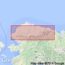
Divided into (ascending): lower unnamed member, Cape Thompson Member (new), and upper unnamed member. Lower member consists of 165 ft of interbedded dark-gray to grayish-black silt clay shale, locally calcareous, and medium-gray to dark-gray cherty limestone. Cape Thompson Member is about 225 ft of very thick-bedded light-gray to light-olive-gray limestone. Upper member is 1811 ft thick. Dark limestones of upper and lower members are predominantly medium- to coarse-grained biomicrites. Measured sections at sea-cliff exposures between Amaktusak and Imikrak Creeks total 1970 ft. Underlies Kogruk(?) Formation. Age given as Early and Late Mississippian on geologic map of area in vicinity of Chariot Site, Lisburne Peninsula, northwestern AK.
Source: GNU records (USGS DDS-6; Menlo GNULEX).
- Usage in publication:
-
- Nasorak Formation*
- Modifications:
-
- Age modified
- AAPG geologic province:
-
- Alaska Northern region
Summary:
Age is Late Mississippian based on revised megafossil zonations; assemblages (corals, goniatites, mollusks, brachiopods, plants) in Lisburne Peninsula range from Meramecian to Chesterian in age.
Source: GNU records (USGS DDS-6; Menlo GNULEX).
For more information, please contact Nancy Stamm, Geologic Names Committee Secretary.
Asterisk (*) indicates published by U.S. Geological Survey authors.
"No current usage" (†) implies that a name has been abandoned or has fallen into disuse. Former usage and, if known, replacement name given in parentheses ( ).
Slash (/) indicates name conflicts with nomenclatural guidelines (CSN, 1933; ACSN, 1961, 1970; NACSN, 1983, 2005, 2021). May be explained within brackets ([ ]).