- Usage in publication:
-
- Nason Ridge Migmatitic Gneiss*
- Modifications:
-
- Named
- Geochronologic dating
- Dominant lithology:
-
- Gneiss
- Schist
- AAPG geologic province:
-
- Cascades province
Summary:
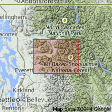
Unit is named the Nason Ridge Migmatitic Gneiss for Nason Ridge (located 25 km southeast of the Sauk River quad), WA. Consists of layered gneiss made up of biotite tonalitic gneiss layers, biotite schist, and amphibolite, cut by numerous pegmatite and aplite sills and dikes. Intimately (metasomatized, at least in part, from the Chiwaukum) associated with the Chiwaukum Schist. Metamorphic age is Late Cretaceous (Rb/Sr = 79.5+/-0.2 and 86.2+/-0.2 Ma; minimum ages for metamorphism); protolith age not given.
Source: GNU records (USGS DDS-6; Menlo GNULEX).
For more information, please contact Nancy Stamm, Geologic Names Committee Secretary.
Asterisk (*) indicates published by U.S. Geological Survey authors.
"No current usage" (†) implies that a name has been abandoned or has fallen into disuse. Former usage and, if known, replacement name given in parentheses ( ).
Slash (/) indicates name conflicts with nomenclatural guidelines (CSN, 1933; ACSN, 1961, 1970; NACSN, 1983, 2005, 2021). May be explained within brackets ([ ]).

