

- Usage in publication:
-
- Nasina series*
- Modifications:
-
- Named
- Dominant lithology:
-
- Schist
- Limestone
- AAPG geologic province:
-
- Alaska East-Central region
Summary:
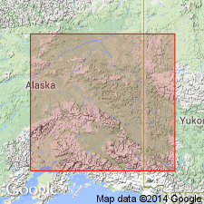
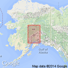
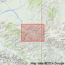
Identified only on Lower White River [Nasina is Tanana native name for White River], east-central AK. Extends up to about the mouth of Ladue Creek. Distribution shown on geologic sketch map of portions of White River and Tanana basins. Consists essentially of quartz-schists and white crystalline limestone, with some slates and some intrusive sheets and dikes. Series seems to correspond to Birch Creek schist and Fortymile series of Spurr, but the two horizons could not be differentiated [hence new name]. Unconformably overlies gneissic series of Precambrian(?) age. Age given as pre-Silurian in correlation table.
Source: GNU records (USGS DDS-6; Menlo GNULEX).
- Usage in publication:
-
- Nasina group*
- Modifications:
-
- Redescribed
- AAPG geologic province:
-
- Alaska East-Central region
Summary:
Named Nasina "series" preferably should be Nasina group. Includes Spurr's Birch Creek and Fortymile "series" [Paleozoic and Precambrian age.]
Source: GNU records (USGS DDS-6; Menlo GNULEX).
- Usage in publication:
-
- "Nasina series"†
- Modifications:
-
- Abandoned
- AAPG geologic province:
-
- Alaska East-Central region
Summary:
"Nasina series" of Brooks (1900) has not persisted in the U.S. Geological Survey nomenclature. Beds are included in part in Birch Creek schist [later abandoned also].
Source: GNU records (USGS DDS-6; Menlo GNULEX).
For more information, please contact Nancy Stamm, Geologic Names Committee Secretary.
Asterisk (*) indicates published by U.S. Geological Survey authors.
"No current usage" (†) implies that a name has been abandoned or has fallen into disuse. Former usage and, if known, replacement name given in parentheses ( ).
Slash (/) indicates name conflicts with nomenclatural guidelines (CSN, 1933; ACSN, 1961, 1970; NACSN, 1983, 2005, 2021). May be explained within brackets ([ ]).