

- Usage in publication:
-
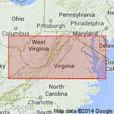
- Nansemond formation
- Modifications:
-
- Named
- Dominant lithology:
-
- Clay
- Silt
- Sand
- Peat
- AAPG geologic province:
-
- Atlantic Coast basin
Summary:
Nansemond Formation, named in this report, was deposited in a tidal lagoon environment and includes a number of facies, which range through clay, silt, sand, and peat. Marine shell beds locally present. Residual material from Sedley formation (new name) and lag gravels and cobbles from Kilby formation (new name) underlie the Nansemond beneath westernmost parts of Dismal Swamp terrace. Underlies Dismal Swamp terrace and Princess Anne terrace. Terrace, as used here, refers to land form only and does not refer to or imply existence of any deposits genetically related to them.
Source: GNU records (USGS DDS-6; Reston GNULEX).
For more information, please contact Nancy Stamm, Geologic Names Committee Secretary.
Asterisk (*) indicates published by U.S. Geological Survey authors.
"No current usage" (†) implies that a name has been abandoned or has fallen into disuse. Former usage and, if known, replacement name given in parentheses ( ).
Slash (/) indicates name conflicts with nomenclatural guidelines (CSN, 1933; ACSN, 1961, 1970; NACSN, 1983, 2005, 2021). May be explained within brackets ([ ]).