

- Usage in publication:
-
- Nanafalia series*
- Modifications:
-
- Named
- Dominant lithology:
-
- Marl
- Clay
- Sand
- Greensand
- Lignite
- AAPG geologic province:
-
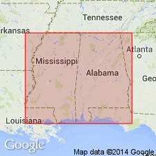
- Mid-Gulf Coast basin
Summary:
Pg. 51-57. Nanafalia series. The series of strata to which the Nanafalia marl has given the name, broadly considered, is susceptible of threefold division upon basis of lithological and paleontological characters: (1) 40 to 50 feet of indurated gray clays and sandy clays, in part glauconitic; (2) 75 to 80 feet of yellow, reddish, and whitish sands, alternating with green-sand beds, and highly fossiliferous, GRYPHAEA THIRSAE being characteristic fossil; near base a bed 20 feet thick literally packed with these shells; (3) 70 to 80 feet of sandy clays and sands, variously interstratified, cross-bedded sands passing near base into greensands, which overlie the Coal Bluff lignite, 4 to 7 feet thick. Unconformably overlies Matthew's Landing and Naheola series and unconformably underlies Bell's Landing series. [E.A. Smith had in 1886 (Alabama Geol. Survey Bull., no. 1, p. 12) described these same rocks under heading "Nanafalia and Coal Bluff section" and he also used that term in his description in Alabama Geol. Survey Bull, no. 2, p. 48, 1892.]
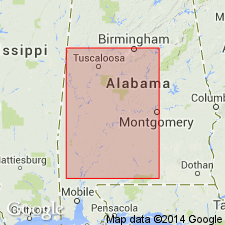
Named from exposures at Nanafalia Landing on Tombigbee River, in Marengo Co., southern AL.
Source: US geologic names lexicon (USGS Bull. 896, p. 1459); GNU records (USGS DDS-6; Reston GNULEX).
- Usage in publication:
-
- Nanafalia formation*
- Modifications:
-
- Revised
- AAPG geologic province:
-
- Mid-Gulf Coast basin
Summary:
Pg. 192-195. Restricted Nanafalia formation by removing its basal member (†Coal Bluff beds of early reports), 80+/- feet thick, which he stated is an eastern extension of Ackerman formation of Mississippi. Basal formation of Wilcox group in Alabama is therefore now called Ackerman formation. (See also 1932 entry under Salt Mountain limestone.)
Source: US geologic names lexicon (USGS Bull. 896, p. 1459).
- Usage in publication:
-
- Nanafalia Formation
- Modifications:
-
- Overview
- Revised
- AAPG geologic province:
-
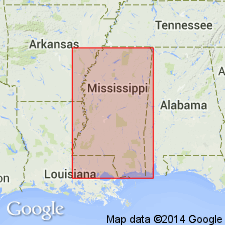
- Black Warrior basin
Summary:
Ackerman Formation, as mapped in Lauderdale County, Mississippi, is equivalent to the Nanafalia Formation of the Wilcox Group of Alabama. The gritty coarse-grained, basal sands of the Nanafalia disconformably overlie the finer grained silty clays, sands, and lignites of the Fearn Springs Member of the Naheola Formation (new allocation) of the Midway Group. The coarse-grained sands of this formation are probably an updip equivalent of the Gravel Creek Sand Member of the Nanafalia Formation in Alabama.
Source: GNU records (USGS DDS-6; Reston GNULEX).
- Usage in publication:
-
- Nanafalia Formation*
- Modifications:
-
- Biostratigraphic dating
- AAPG geologic province:
-
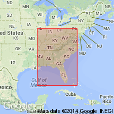
- Mid-Gulf Coast basin
- South Georgia sedimentary province
Summary:
Nanafalia Formation shown as Paleocene (Wilcox) age on fig. a. Wilcox age based on CRASSATELLA TUMIDULA and CRASSATELLA AQUIANA collected from Marengo County, western Alabama, and Pike County, southeastern Alabama.
Source: GNU records (USGS DDS-6; Reston GNULEX).
For more information, please contact Nancy Stamm, Geologic Names Committee Secretary.
Asterisk (*) indicates published by U.S. Geological Survey authors.
"No current usage" (†) implies that a name has been abandoned or has fallen into disuse. Former usage and, if known, replacement name given in parentheses ( ).
Slash (/) indicates name conflicts with nomenclatural guidelines (CSN, 1933; ACSN, 1961, 1970; NACSN, 1983, 2005, 2021). May be explained within brackets ([ ]).