

- Usage in publication:
-
- Nakaye formation
- Modifications:
-
- Named
- Dominant lithology:
-
- Limestone
- Chert
- AAPG geologic province:
-
- Orogrande basin
Summary:
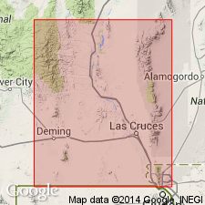
Named as middle and most prominent formation of Magdalena group. Type locality is section measured at South Ridge, sec 10, T15S, R4W, Caballo Mountains, NM in Orogrande basin. Name taken from Nakaye Mountain in southwestern part of the area where the formation forms most of the ridge. Is 419 ft thick at type; thickens slightly southward or southeastward along the range. Rests conformably on Red House formation (new); is overlain conformably by Bar B formation (new). Consists dominantly of thick to massive ledges of limestone which often contain abundant bands, lenses, or nodules of chert. Along the western escarpment of the main Caballo ridge the Nakaye presents a precipitous outcrop consisting of 15 to 20 distinct ledges ranging from 10 to 25 ft in thickness. Ledges are separated from each other by bedding planes, shale intervals 1-2 ft thick, or thin- to medium-bedded limestone 5-10 ft thick. Limestone is medium gray to dark gray and very fine to fine grained in most places. Many of the beds weather to a light tan brown and others light to medium gray. No sandstone occurs, in contrast with similar parts of Magdalena in central NM. Some of the massive limestone beds contain no chert other than a lacy, intricate form intergrown with calcite. Most limestone ledges contain much brown-weathering chert in lenses and nodules as much as 12 in thick. A few beds contain as much chert as, or more chert than, calcite. Of Pennsylvanian age.
Source: GNU records (USGS DDS-6; Denver GNULEX).
- Usage in publication:
-
- Nakaye Formation*
- Modifications:
-
- Overview
- AAPG geologic province:
-
- Orogrande basin
Summary:
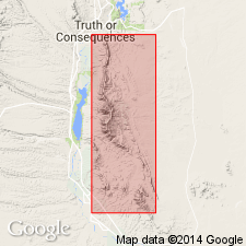
Name applied in the Caballo Mountains, south-central Sierra Co, NM, Orogrande basin, to the middle formation in the Magdalena Group, above the Red House Formation of the Magdalena and below the Bar B Formation of the Magdalena. Shown on correlation chart as equivalent to the Lead Camp Limestone in the San Andres Mountains, eastern Sierra Co, to the Gobbler Formation of Magdalena in the Sacramento Mountains, northern Otero Co, and part of the Los Moyos Limestone of the Manzano Mountains, western Torrance Co, and of middle and late Atokan and Des Moinesian, or Middle Pennsylvanian age. Authors speculate that Nakaye may not be a cartographic unit because its contacts were not well defined.
Source: GNU records (USGS DDS-6; Denver GNULEX).
- Usage in publication:
-
- Nakaye Formation*
- Modifications:
-
- Overview
- AAPG geologic province:
-
- Orogrande basin
Summary:
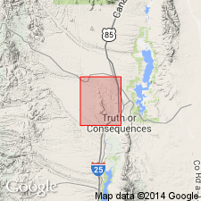
Magdalena Group in the Mud Springs Mountains of Sierra Co, NM in the Orogrande basin, divided into the (ascending): Red House, Nakaye, and Bar B Formations of Pennsylvanian age; and Bursum Formation of Early Permian age. The group unconformably overlies Upper Devonian Percha Shale in southern half of mountains and Upper Ordovician Cutter Dolomite of Montoya Group in northern half of mountains. The group underlies Lower Permian Abo Formation.
Source: GNU records (USGS DDS-6; Denver GNULEX).
For more information, please contact Nancy Stamm, Geologic Names Committee Secretary.
Asterisk (*) indicates published by U.S. Geological Survey authors.
"No current usage" (†) implies that a name has been abandoned or has fallen into disuse. Former usage and, if known, replacement name given in parentheses ( ).
Slash (/) indicates name conflicts with nomenclatural guidelines (CSN, 1933; ACSN, 1961, 1970; NACSN, 1983, 2005, 2021). May be explained within brackets ([ ]).