

- Usage in publication:
-
- Myrtis sand member
- Modifications:
-
- Original reference
- Dominant lithology:
-
- Sand
- Clay
- AAPG geologic province:
-
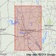
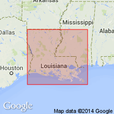
- Arkla basin
Summary:
p. 2519-2522. Myrtis sand member of Queen City formation. Fine-grained, massive to cross-bedded, orange, pink, and red, with some stringers of light-gray silty clay up to 0.2 foot thick. Total thickness 68 feet (52 feet exposed and remainder from borehole with elevation of 284 feet at top of hole). Overlies Omen member; underlies Weches formation. Age is Eocene (Claiborne).
Named from exposures in deep roadcuts along Vivian-Atlanta Road in SE/4 sec. 3 and NW/4 sec. 10, T. 22 N., R. 16 W., 1.5 mi west of town of Myrtis and 3 mi northwest of Vivian in northwest Caddo Parish, northwestern LA.
Source: US geologic names lexicon (USGS Bull. 1200, p. 2666).
- Usage in publication:
-
- Myrtis Sand Member†
- Modifications:
-
- Abandoned
- AAPG geologic province:
-
- Arkla basin
Summary:
†Myrtis Sand Member (recognized locally in Caddo Parish, Louisiana) of Queen City Formation of Claiborne Group considered abandoned. Weches, Queen City, and Reklaw of Texas not applied in Louisiana nomenclature. Are = Cane River Formation.
Source: Publication.
For more information, please contact Nancy Stamm, Geologic Names Committee Secretary.
Asterisk (*) indicates published by U.S. Geological Survey authors.
"No current usage" (†) implies that a name has been abandoned or has fallen into disuse. Former usage and, if known, replacement name given in parentheses ( ).
Slash (/) indicates name conflicts with nomenclatural guidelines (CSN, 1933; ACSN, 1961, 1970; NACSN, 1983, 2005, 2021). May be explained within brackets ([ ]).