The National Geologic Map Database is migrating to a new infrastructure. We apologize for any service disruptions during this process.
|
|---|


- Usage in publication:
-
- Myakka Member
- Modifications:
-
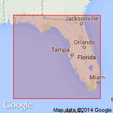
- Areal extent
- Dominant lithology:
-
- Sand
- AAPG geologic province:
-
- Florida platform
Summary:
Sarasota Formation of Tamiami Group (rank raised) is subdivided into Myakka Member, Buckingham Limestone Member, Ochopee Limestone Member, Forty Mile Bend Member, and a coral/mollusk biohermal facies. Myakka Member is exposed in pits east of Sarasota, FL, and is described as shelly quartz sand. No thickness given.
Source: GNU records (USGS DDS-6; Reston GNULEX).
For more information, please contact Nancy Stamm, Geologic Names Committee Secretary.
Asterisk (*) indicates published by U.S. Geological Survey authors.
"No current usage" (†) implies that a name has been abandoned or has fallen into disuse. Former usage and, if known, replacement name given in parentheses ( ).
Slash (/) indicates name conflicts with nomenclatural guidelines (CSN, 1933; ACSN, 1961, 1970; NACSN, 1983, 2005, 2021). May be explained within brackets ([ ]).