- Usage in publication:
-
- Muley Canyon Sandstone Member
- Modifications:
-
- Named
- Dominant lithology:
-
- Sandstone
- AAPG geologic province:
-
- Paradox basin
Summary:
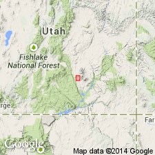
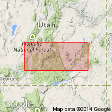
Named as a member in upper part of Mancos Shale for exposures in Muley Canyon in southwest part of Mt. Pennell 2NW quad, Garfield Co, UT in Paradox basin. Type section designated at head of Muley Canyon in SE1/4 SW1/4 sec 16, T33S, R9E. Formerly mapped as Bluegate Sandstone by Gilbert (1877) and as Emery Sandstone Member by Hunt and others (1946). Consists of a lower massive sandstone 27.5 to 66.7 m thick; middle slope-forming unit 30+ m thick that contains coal, carbonaceous mudstone, and sandstone; upper sandstone 30+ m thick. Ranges from 57 to 109.2 m in thickness. Overlies Blue Gate [also spelled Bluegate in report] Shale Member of Mancos unconformably. Underlies Masuk Shale Member of Mancos unconformably. Is of Late Cretaceous, early Campanian age. Correlates with Starpoint [sic] Sandstone on Wasatch Plateau and with Drip Tank Member of Straightcliffs [sic] Formation on Kaiparowits Plateau.
Source: GNU records (USGS DDS-6; Denver GNULEX).

- Usage in publication:
-
- Muley Canyon Sandstone
- Modifications:
-
- Revised
- Dominant lithology:
-
- Sandstone
- AAPG geologic province:
-
- Paradox basin
Summary:
Is a unit recognized in Garfield Co, UT in the Paradox basin. Stratigraphic rank changed from Muley Canyon Sandstone Member of Mancos Shale to Muley Canyon Sandstone. Removed from Mancos because it has a distinct lithology and is mappable. As thus restricted, Muley Canyon overlies Blue Gate Shale Member of Mancos Shale (restricted) and underlies Masuk Formation (also removed from Mancos and raised in stratigraphic rank). Ranges between 130 to 295 ft thick. Base placed at base of lowest conspicuous sandstone above gray shale of Mancos. Considered to be a regressive marine deposit. Is dominated by well-sorted, fine-grained sandstone with low angle cross stratification. Principal reference section designated near east half sec 27, T31S, R8E, Garfield Co. It is 89.7 ft thick at principal reference section where it consists of fine-grained, gray to brown, thin-bedded sandstone. Some beds are bioturbated, trough crossbeds, ripple marked, horizontally bedded, ledge- to cliff-forming at this reference section. Probably deposited in a coastal barrier environment. Has trace fossils. Has no age diagnostic fossils. Correlated with Drip Tank Member of Straight Cliffs Formation. Probably earliest Campanian age. Stratigraphic tables.
Source: GNU records (USGS DDS-6; Denver GNULEX).
For more information, please contact Nancy Stamm, Geologic Names Committee Secretary.
Asterisk (*) indicates published by U.S. Geological Survey authors.
"No current usage" (†) implies that a name has been abandoned or has fallen into disuse. Former usage and, if known, replacement name given in parentheses ( ).
Slash (/) indicates name conflicts with nomenclatural guidelines (CSN, 1933; ACSN, 1961, 1970; NACSN, 1983, 2005, 2021). May be explained within brackets ([ ]).

