- Usage in publication:
-
- Mud Hill basalt
- Mud Hill flow
- Modifications:
-
- Original reference
- Dominant lithology:
-
- Basalt
- AAPG geologic province:
-
- Sierra Grande uplift
Summary:
Pg. 120-121, pl. 1-b. Ten basalt flows in what is termed Folsom sequence of Clayton basalt are named and mapped. Stratigraphic position of six of these basalts has been determined. Mud Hill basalt is third in known sequence. Older than Bellisle Mountain and younger than Big Hill. Age is Late Cenozoic.
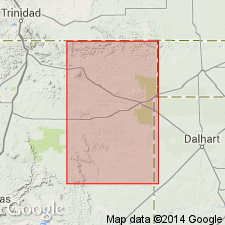
Mud Hill cone is in Dry Cimarron River drainage area, Union Co., northeastern NM.
Source: US geologic names lexicon (USGS Bull. 1200, p. 2652).
For more information, please contact Nancy Stamm, Geologic Names Committee Secretary.
Asterisk (*) indicates published by U.S. Geological Survey authors.
"No current usage" (†) implies that a name has been abandoned or has fallen into disuse. Former usage and, if known, replacement name given in parentheses ( ).
Slash (/) indicates name conflicts with nomenclatural guidelines (CSN, 1933; ACSN, 1961, 1970; NACSN, 1983, 2005, 2021). May be explained within brackets ([ ]).

