The National Geologic Map Database is migrating to a new infrastructure. We apologize for any service disruptions during this process.
|
|---|


- Usage in publication:
-
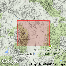
- Mt. Powell porphyritic granite
- Modifications:
-
- First used
- AAPG geologic province:
-
- Montana folded belt
Summary:
First published use as a map unit. Shown on geologic map and map explanation. Intent to name, type locality, description, areal limits, etc not given. Report is in Granite and Powell Cos, MT in the Montana folded belt province. Of Tertiary age. [Should not be considered to be a formal name]
Source: GNU records (USGS DDS-6; Denver GNULEX).
For more information, please contact Nancy Stamm, Geologic Names Committee Secretary.
Asterisk (*) indicates published by U.S. Geological Survey authors.
"No current usage" (†) implies that a name has been abandoned or has fallen into disuse. Former usage and, if known, replacement name given in parentheses ( ).
Slash (/) indicates name conflicts with nomenclatural guidelines (CSN, 1933; ACSN, 1961, 1970; NACSN, 1983, 2005, 2021). May be explained within brackets ([ ]).