- Usage in publication:
-
- Mountain Run Member*
- Modifications:
-
- Named
- Dominant lithology:
-
- Greenstone
- AAPG geologic province:
-
- Piedmont-Blue Ridge province
- Culpeper basin
Summary:
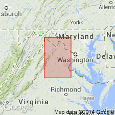
Following the informal usage of Lee (1979, 1980), greenstone conglomerate exposed on the east bank of Mountain Run at Culpeper, VA, in the southwestern part of the Culpeper basin, is here named the Mountain Run Member of the Tibbstown Formation. Two sequences of conglomerate occur at the top of the Tibbstown, with which they are gradational or intertonguing. The upper contacts have been removed by erosion. Thickness varies from a feather edge to more than 640 m (2,100 ft). The age is probably early Norian based on sporomorphs in gray shale of the Tibbstown.
Source: GNU records (USGS DDS-6; Reston GNULEX).
For more information, please contact Nancy Stamm, Geologic Names Committee Secretary.
Asterisk (*) indicates published by U.S. Geological Survey authors.
"No current usage" (†) implies that a name has been abandoned or has fallen into disuse. Former usage and, if known, replacement name given in parentheses ( ).
Slash (/) indicates name conflicts with nomenclatural guidelines (CSN, 1933; ACSN, 1961, 1970; NACSN, 1983, 2005, 2021). May be explained within brackets ([ ]).

