- Usage in publication:
-
- Mountain Pass Rhyolite
- Modifications:
-
- Named
Summary:
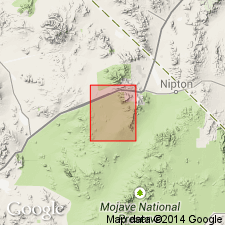
Unit is named the Mountain Pass Rhyolite. Consists of red, locally green and purple, porphyritic rhyolite. Flows are massive. Weathers to talus flows on steep slopes. Thickness is greater than 360 m. Overlies the Aztec Sandstone; upper contact not exposed; truncated on the west side by the Mescal thrust fault of Early Cretaceous(?) age. Age is Jurassic(?). (B1520)
Source: GNU records (USGS DDS-6; Menlo GNULEX).
For more information, please contact Nancy Stamm, Geologic Names Committee Secretary.
Asterisk (*) indicates published by U.S. Geological Survey authors.
"No current usage" (†) implies that a name has been abandoned or has fallen into disuse. Former usage and, if known, replacement name given in parentheses ( ).
Slash (/) indicates name conflicts with nomenclatural guidelines (CSN, 1933; ACSN, 1961, 1970; NACSN, 1983, 2005, 2021). May be explained within brackets ([ ]).

