The National Geologic Map Database is migrating to a new infrastructure. We apologize for any service disruptions during this process.
|
|---|


- Usage in publication:
-
- Mountain Meadows dacite porphyry*
- Modifications:
-
- Named
- Dominant lithology:
-
- Dacite
- Porphyry
- AAPG geologic province:
-
- Transverse Ranges province
Summary:
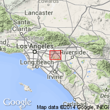
Shown on geologic map in northeast extremity of San Jose Hills, Los Angeles Co, CA. Porphyry has mass of 5500 ft by 2500 ft. Intrudes gneissic bedrock. Unconformably underlies massive and fragmental volcanic rocks of Tertiary age. Age is uncertain.
Source: GNU records (USGS DDS-6; Menlo GNULEX).
- Usage in publication:
-
- Mountain Meadows dacite porphyry*
- Modifications:
-
- Areal extent
- AAPG geologic province:
-
- Transverse Ranges province
Summary:
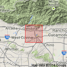
Mapped undivided with basement rocks in northeast margin of San Gabriel basin. Age of undivided rocks given as Mesozoic.
Source: GNU records (USGS DDS-6; Menlo GNULEX).
- Usage in publication:
-
- Mountain Meadows dacite porphyry*
- Modifications:
-
- Areal extent
- AAPG geologic province:
-
- Transverse Ranges province
Summary:
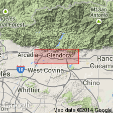
Mountain Meadows dacite porphyry described as pale greenish or yellowish rock with phenocrysts of euhedral oligoclase and biotite and less abundant resorbed quartz. Named for largest exposed mass at Mountain Meadows Country Club just northwest of Pomona. Is 2000 ft across and intrusive into basement complex. Occurs as swarms of dikes and masses in San Gabriel Mountains between San Gabriel Canyon and Cucamonga Canyon. Also occurs in subsurface. Probably unconformably underlies Glendora volcanics. Sketch map shows age as uncertain.
Source: GNU records (USGS DDS-6; Menlo GNULEX).
- Usage in publication:
-
- Mountain Meadows dacite
- Modifications:
-
- Redescribed
- Age modified
- AAPG geologic province:
-
- Transverse Ranges province
Summary:
Mountain Meadows dacite porphyry of Woodford and others (1940) referred to as Mountain Meadows dacite. Described as biotite dacite porphyry considerably more extensive underground than at the surface. Shown on geologic map of Glendora volcanic rocks as pre-middle Miocene in age.
Source: GNU records (USGS DDS-6; Menlo GNULEX).
For more information, please contact Nancy Stamm, Geologic Names Committee Secretary.
Asterisk (*) indicates published by U.S. Geological Survey authors.
"No current usage" (†) implies that a name has been abandoned or has fallen into disuse. Former usage and, if known, replacement name given in parentheses ( ).
Slash (/) indicates name conflicts with nomenclatural guidelines (CSN, 1933; ACSN, 1961, 1970; NACSN, 1983, 2005, 2021). May be explained within brackets ([ ]).