The National Geologic Map Database is migrating to a new infrastructure. We apologize for any service disruptions during this process.
|
|---|


- Usage in publication:
-
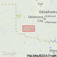
- Mount Sheridan Gabbro Member
- Modifications:
-
- Named
- Dominant lithology:
-
- Gabbro
- AAPG geologic province:
-
- South Oklahoma folded belt
Summary:
Named as the basal? member of the Roosevelt Gabbros (new) of the Raggedy Mountain Gabbro Group for Mount Sheridan in the Wichita Mountains, Comanche Co, OK in the South Oklahoma folded belt province. Mapped (geologic map) with other members of the Roosevelt Gabbro. Type locality is in sec 5, T3N, R13W. Is a sill-like body. Intrudes the Glen Mountains Layered Complex (new) and is intruded by the Mount Scott Granite. Consists of medium-grained biotite gabbro locally fractionated to ferrogranodiorite. Principal phases include plagioclase, augite, hypersthene, biotite, ilmenite, and magnetite, with accessory apatite and sulfides. [Relationship to other members of Roosevelt not clearly stated.] Of Cambrian age. Stratigraphic table.
Source: GNU records (USGS DDS-6; Denver GNULEX).
For more information, please contact Nancy Stamm, Geologic Names Committee Secretary.
Asterisk (*) indicates published by U.S. Geological Survey authors.
"No current usage" (†) implies that a name has been abandoned or has fallen into disuse. Former usage and, if known, replacement name given in parentheses ( ).
Slash (/) indicates name conflicts with nomenclatural guidelines (CSN, 1933; ACSN, 1961, 1970; NACSN, 1983, 2005, 2021). May be explained within brackets ([ ]).