

- Usage in publication:
-
- Mount Selman series
- Modifications:
-
- Original reference
- Dominant lithology:
-
- Sand
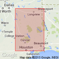
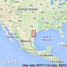
- AAPG geologic province:
-
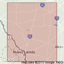
- East Texas basin
Summary:
Pg. 45, 52-54. Mount Selmon series. Marine beds consisting of brown sands, blue sands, greensands, altered greensands, glauconitic sandstone, and laminated iron ore, more or less fossiliferous throughout. The general section given of the Mount Selman, from Jacksonville to Bullard, shows (descending): (1) sands with a little interbedded iron ore, 115 feet; (2) pale-blue and brown clay, 15 feet; (3) interbedded sands and iron ores, 55 feet; (4) brown sand and altered green sand, 40 feet; (5) dark-green sand containing fossil shells and a few shark teeth, 24 feet; (6) lignite, 2 feet; (7) lignitic clay, 5 feet; (8) brown clay at bottom of well near bullard, dug into 2 feet. Underlies Cook's Mountain beds (also marine) and overlaps Queen City beds, uppermost member of Lignitic group. Thickness 260 feet. [Age is Eocene.]
Named from typical development in Cherokee Co. [in which is town of Mount Selman], eastern TX.
Source: US geologic names lexicon (USGS Bull. 896, p. 1442-1443).
- Usage in publication:
-
- Mount Selman beds
- Modifications:
-
- Revised
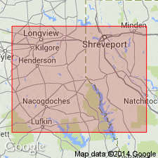
- AAPG geologic province:
-
- East Texas basin
Summary:
Defined Mount Selman beds as above [=Kennedy, 1892], except that he gave thickness as 700 feet. [Age is Eocene.]
Source: US geologic names lexicon (USGS Bull. 896, p. 1442-1443).
- Usage in publication:
-
- Mount Selman
- Modifications:
-
- Not used
- AAPG geologic province:
-
- East Texas basin
Dumble, E.T., 1898, Physical geography, geology, and resources of Texas, Chapter 4: Dallas, TX, W.G. Scarff Publisher, v. 2, p. 471-516.
Summary:
See also 1902, Sci., n.s., v. 16, p. 670-671. Stated that Queen City beds are same as Carrizo sandstone and included them in †Lignitic [Wilcox]. In 1911 (Texas Acad. Sci., v. 11, p. 52-53) he repeated the correlation of Carrizo sandstone with Queen City sand, but included it in Claiborne group.
Source: US geologic names lexicon (USGS Bull. 896, p. 1442-1443).
- Usage in publication:
-
- Mount Selman formation
- Modifications:
-
- Revised
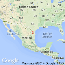
- AAPG geologic province:
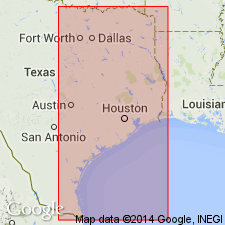
-
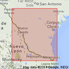
- Gulf Coast basin
Summary:
Mount Selman formation. Palustrine and marine deposits, consisting of red ferruginous indurated and probably altered greensand, with casts of shells, lenses of lignite and clay, beds and concretions of limonite; as a whole is conspicuously ferruginous. Thickness 350 feet in Texas Coastal Plain east of Brazos River. Underlies Cook Mountain formation and overlies Wilcox formation, the top unit of which consists of littoral deposits comprising Queen City sand member. [Age is Eocene.]
Source: US geologic names lexicon (USGS Bull. 896, p. 1442-1443).
- Usage in publication:
-
- Mount Selman
- Modifications:
-
- Not used
- AAPG geologic province:
-
- East Texas basin
Dumble, E.T., 1915, Some events in the Eogene history of the present coastal area of the Gulf of Mexico in Texas and Mexico: Journal of Geology, v. 23, no. 6, p. 481-498.
Summary:
Pg. 481-498. Repeated correlation of Carrizo sandstone and Queen City sand and included them in Claiborne group, as a distinct formation.
Source: US geologic names lexicon (USGS Bull. 896, p. 1442-1443).
- Usage in publication:
-
- Mount Selman
- Modifications:
-
- Overview
- AAPG geologic province:
-
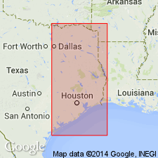
- East Texas basin
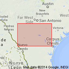
- Gulf Coast basin
Summary:
Pg. 83-84. The Mount Selman underlies the Cook Mountain and overlies the Queen City-Carrizo, which is here included in Claiborne group, but which is by some geologists classed as Wilcox. The Mount Selman is at least in part marine. Thickness 225 to 475 feet. [Age is Eocene.]
Source: US geologic names lexicon (USGS Bull. 896, p. 1442-1443).

- Usage in publication:
-
- Mount Selman formation
- Modifications:
-
- Overview
- AAPG geologic province:
-
- East Texas basin
- Gulf Coast basin
Summary:
T.W. Vaughan, 1917 (Smithsonian Pub.), treated the Mount Selman as basal formation of Claiborne group, as did W.G. Matteson, 1918 (Amer. Inst. Min. Engrs. Bull., no. 134), who treated Queen City as top member of the Wilcox, and J.A. Udden, 1919 (Texas Univ. Hdbk. ser., no. 1).
Source: US geologic names lexicon (USGS Bull. 896, p. 1442-1443).
- Usage in publication:
-
- Mount Selman formation
- Modifications:
-
- Areal extent
- AAPG geologic province:
-
- East Texas basin
- Gulf Coast basin
Summary:
Mount Selman formation conformably underlies Cook's Mountain formation and overlies the Carrizo, which in east Texas is called Queen City beds. The Queen City is eastern equivalent if not direct extension of the Carrizo. It is here included in Claiborne group.
Source: US geologic names lexicon (USGS Bull. 896, p. 1442-1443).
- Usage in publication:
-
- Mount Selman formation
- Modifications:
-
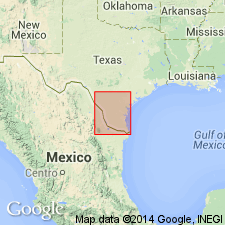
- Biostratigraphic dating
- AAPG geologic province:
-
- Gulf Coast basin
Summary:
The plants found in Carrizo sandstone, as well as those found above and below it near the Rio Grande, definitely settle its upper Wilcox age, but show that it is in nature of a lens which becomes thinner toward Rio Grande, where its upper part is replaced with more typical and more argillaceous wilcox, also carrying characteristic fossil plants. [Mount Selman formation, basal formation of Claiborne group. See also Trowbridge ms., same vol.]
Source: US geologic names lexicon (USGS Bull. 896, p. 1442-1443).
- Usage in publication:
-
- Mount Selman formation*
- Modifications:
-
- Areal extent
- AAPG geologic province:
-
- Gulf Coast basin
Summary:
Treated Mount Selman as basal formation of Claiborne group in Rio Grande region, and divided the underlying Wilcox group into (descending): (1) Bigford formation, 0 to 470+/- feet of clay of various colors, with subordinate amounts of gray, green, and brown sandstone and many lignite beds; chiefly contemporaneous with Carrizo sandstone but in part younger; contains Wilcox flora; rests with possible unconformity on (2) Carrizo sandstone, 118 to 400+/- feet thick; contains Wilcox plants; rests unconformably and with overlap on (3) Indio formation, 648 to 700 feet. [Age is Eocene.]
[A.C. Trowbridge repeated his 1923 classification of Wilcox group in GSA Bull., v. 37, p. 455-462, 1926.]
Source: US geologic names lexicon (USGS Bull. 896, p. 1442-1443).
- Usage in publication:
-
- Mount Selman
- Modifications:
-
- Not used
- AAPG geologic province:
-
- Gulf Coast basin
Summary:
Pg. 424-436. Included Carrizo sandstone in Claiborne group, but not in the Mount Selman.
Source: US geologic names lexicon (USGS Bull. 896, p. 1442-1443).
- Usage in publication:
-
- Mount Selman formation
- Modifications:
-
- Areal extent
- AAPG geologic province:
-
- Gulf Coast basin
Summary:
Treated Mount Selman as basal formation of Claiborne group of southwestern Coastal Plain of Texas, and as resting unconformably on Carrizo sandstone. [Age is Eocene.]
Source: US geologic names lexicon (USGS Bull. 896, p. 1442-1443).
- Usage in publication:
-
- Mount Selman
- Modifications:
-
- Not used
- AAPG geologic province:
-
- Gulf Coast basin
Summary:
Queen City sand (0 to 400 feet thick) is younger than Carrizo sand (10 to 80 feet thick), from which it is separated by Reklaw member (40 to 180 feet thick in Texas). The Carrizo is treated as basal member of Claiborne series because "it differs lithologically from the Wilcox and is separated from it by and unconformity."
Source: US geologic names lexicon (USGS Bull. 896, p. 1442-1443).
- Usage in publication:
-
- Mount Selman formation
- Modifications:
-
- Areal extent
- AAPG geologic province:
-
- Gulf Coast basin
Summary:
Pg. 28, 81+. Described the Mount Selman as basal formation of Claiborne group and as overlying Bigford formation of Wilcox group, but with statement (footnote 8 on p. 52) that "both the Carrizo and Bigford will probably prove to be of Claiborne age, instead of Wilcox, and on the new geologic map of Texas will be so classed."
Source: US geologic names lexicon (USGS Bull. 896, p. 1442-1443).
- Usage in publication:
-
- Mount Selman formation*
- Modifications:
-
- Overview
- AAPG geologic province:
-
- Gulf Coast basin
Summary:
L.W. Stephenson, Julia Gardner et al, 1932 [Darton and others, 1937] (Geol. map of Texas) treated Bigford as basal member of Mount Selman formation and Carrizo sand as basal formaiton of Claiborne group, as did F.B. Plummer, 1933 (Univ. Texas Bull., no. 3232). This is present [ca. 1938] classification of the USGS.
A. Deussen, 1934 (AAPG Bull., v. 18, no. 4, p. 501), and A. Deussen and E.W.K. Andrau, 1936 (AAPG Bull., v. 20, no. 5, p. 540), included Carrizo sand in Mount Selman formation. [Age is Eocene.]
Source: US geologic names lexicon (USGS Bull. 896, p. 1442-1443).
- Usage in publication:
-
- Mount Selman formation
- Modifications:
-
- Areal extent
- AAPG geologic province:
-
- Gulf Coast basin
Summary:
Pg. 259 (fig. 2), 260-261. Mount Selman formation. Discussed in area between Laredo and Rio Grande City, southern Texas. About 1,000 feet of Mount Selman beds exposed. Lower 700 feet probably Queen City in age. Above Queen City are 300 feet of red and green shales with some sandstones of approximate age of the Weches. Base of section; underlies Garceno sandstone member (new) of Cook Mountain formation. [Age is Eocene.]
[GNC remark (ca. 1966, US geologic names lexicon, USGS Bull. 1200, p. 2640-2642): Mount Selman Formation of Claiborne Group. Includes (ascending) Reklaw, Queen City Sand, and Weches Greensand Members.]
Source: US geologic names lexicon (USGS Bull. 1200, p. 2640-2641).
- Usage in publication:
-
- Mount Selman Formation†
- Modifications:
-
- Abandoned
- AAPG geologic province:
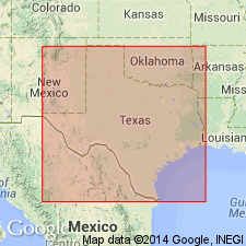
-
- East Texas basin
- Gulf Coast basin
Summary:
Pg. D1. †Mount Selman Formation (middle Eocene) of Claiborne Group abandoned, and former members of formation raised to formation rank. In eastern and central Texas, they include (in ascending order): Reklaw Formation, Queen City Sand, and Weches Formation. In the Rio Grande embayment south of the Frio River, Texas, they include (in ascending order): Bigford Formation and El Pico Clay (new). [Adopted by the USGS (see Changes in stratigraphic nomenclature, 1968, USGS Bull. 1294-A, p. A13).]
Source: Publication; Changes in stratigraphic nomenclature, 1968 (USGS Bull. 1294-A, p. A13).
For more information, please contact Nancy Stamm, Geologic Names Committee Secretary.
Asterisk (*) indicates published by U.S. Geological Survey authors.
"No current usage" (†) implies that a name has been abandoned or has fallen into disuse. Former usage and, if known, replacement name given in parentheses ( ).
Slash (/) indicates name conflicts with nomenclatural guidelines (CSN, 1933; ACSN, 1961, 1970; NACSN, 1983, 2005, 2021). May be explained within brackets ([ ]).