- Usage in publication:
-
- Mt. Rowe member
- Modifications:
-
- Named
- Dominant lithology:
-
- Quartzite
- Conglomerate
- Argillite
Summary:
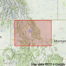
Named as the upper member of Miller Peak formation of the Missoula group of Belt series. Type locality is on the south crest of Mt. Rowe near Akamina Pass, Waterton Lakes National Park, BC, CN. Areal extent east into AT, CN or south into Glacier National Park, MT not clearly stated. Consists of red quartzite in thin and thick beds and mud conglomerate. Quartzites grade up into rose-red argillite. Many beds are cross-bedded and ripple marked. Some salt crystals and rain prints. Is about 1,500 ft thick. Overlies Roosville member of Miller Peak. Correlation table. Underlies about 4,800 ft of argillite and sandstone belonging to an undivided part of the Missoula group. Of pre-Cambrian age.
Source: GNU records (USGS DDS-6; Denver GNULEX).
For more information, please contact Nancy Stamm, Geologic Names Committee Secretary.
Asterisk (*) indicates published by U.S. Geological Survey authors.
"No current usage" (†) implies that a name has been abandoned or has fallen into disuse. Former usage and, if known, replacement name given in parentheses ( ).
Slash (/) indicates name conflicts with nomenclatural guidelines (CSN, 1933; ACSN, 1961, 1970; NACSN, 1983, 2005, 2021). May be explained within brackets ([ ]).

