The National Geologic Map Database is migrating to a new infrastructure. We apologize for any service disruptions during this process.
|
|---|


- Usage in publication:
-
- Pomeroy quartz monzonite
- Modifications:
-
- Named
- Dominant lithology:
-
- Quartz monzonite
- AAPG geologic province:
-
- Eagle basin
- Piceance basin
Summary:
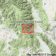
Named for a type of quartz monzonite exposed in Monarch district, Chaffee Co, CO in the Eagle basin. Extends into Tomichi district, Gunnison Co, CO in the Piceance basin as a tongue. No type locality designated. Geologic map. Forms a stock that has not been eroded badly. Is a pinkish- to bluish-gray quartz monzonite with lusterless feldspar, chloritized hornblende, a few biotite crystals. Occasional quartz. Small grains of pyrite. Has a border facies that has little hornblende and biotite. Includes zircon, apatite, iron ore, titanite, augite, hornblende, biotite, plagioclase, orthoclase, quartz as secondary minerals. Chemical analyses. If of post-Carboniferous, pre-Tertiary age.
Source: GNU records (USGS DDS-6; Denver GNULEX).
- Usage in publication:
-
- Mount Pomeroy quartz monzonite*
- Modifications:
-
- Revised
- Dominant lithology:
-
- Quartz monzonite
- AAPG geologic province:
-
- Eagle basin
Summary:
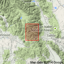
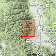
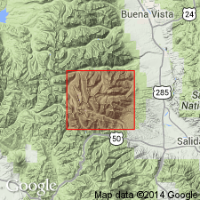
Revised--name changed to Mount Pomeroy quartz monzonite (name Pomeroy of Crawford, 1913, preempted). Part of stock exposed on Pomeroy Mountain. Exposed in an irregular belt about 1 1/4 mi wide extending from Chalk Creek Pass northeast to east border of quad in Chaffee Co, CO in the Eagle basin. Is a pinkish-gray medium-grained rock with chloritized hornblende and biotite, white, pink, and gray feldspar, quartz, and a few pyrite grains. Is older than Mount Princeton quartz monzonite. Assigned to the Paleocene?, Eocene?, and Oligocene?.
Source: GNU records (USGS DDS-6; Denver GNULEX).
- Usage in publication:
-
- Mount Pomeroy Quartz Monzonite*
- Modifications:
-
- Age modified
- AAPG geologic province:
-
- Eagle basin
Summary:
Shown as oldest Tertiary volcanic unit and assigned to Paleocene? and Eocene? [pre-Wall Mountain in age], in Chaffee Co, CO in Eagle basin. Age, therefore, changed from Paleocene? to Oligocene? to: Paleocene? and Eocene?
Source: GNU records (USGS DDS-6; Denver GNULEX).
- Usage in publication:
-
- Mount Pomeroy Quartz Monzonite*
- Modifications:
-
- Overview
- AAPG geologic province:
-
- Eagle basin
Summary:
Exposed in a band from Brittle Silver-Central Mountain area to Mount Antero, Chaffee Co, CO in the Eagle basin. Is truncated to northeast by the Mount Antero Granite. Its northwestern contact is gradational with, and locally difficult to define, with Mount Princeton Quartz Monzonite. Detailed description. Modal analyses. The autointrusive character and high degree of alteration of the Mount Pomeroy suggest it may represent an early-formed roof or capping facies for the Mount Princeton batholith that was altered and thermally metamorphosed by rising magma of the main stage of batholith not long after its initial emplacement. Petrologic description. Geologic maps. Oligocene age.
Source: GNU records (USGS DDS-6; Denver GNULEX).
For more information, please contact Nancy Stamm, Geologic Names Committee Secretary.
Asterisk (*) indicates published by U.S. Geological Survey authors.
"No current usage" (†) implies that a name has been abandoned or has fallen into disuse. Former usage and, if known, replacement name given in parentheses ( ).
Slash (/) indicates name conflicts with nomenclatural guidelines (CSN, 1933; ACSN, 1961, 1970; NACSN, 1983, 2005, 2021). May be explained within brackets ([ ]).