

- Usage in publication:
-
- Mount Lord Volcanics*
- Modifications:
-
- Redescribed
- Reference
- Dominant lithology:
-
- Tuff
- Quartz latite
- Rhyolite
- Rhyodacite
- AAPG geologic province:
-
- Basin-and-Range province
Summary:
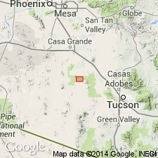
Redescribed from "Ignimbrite" to "Volcanics" to reflect varied lithology, and adopted by the USGS. Type section extends from sec 25, T11S, R7E to W1/2 sec 30, T11S, R8E, West Silver Bell Mountains, Pima Co, AZ in the Basin-and-Range province. Reference secs 15 and 22, T11S, R7E in Pima Co. Is 1,158 m thick at type. Divided into two units. Lower unit consists of five or more welded ash-flow tuff cooling units with interbedded nonwelded tuff, water-laid tuff, flow rocks, and coarse clastic beds including arkosic sandstone, breccia, and conglomerate and is about 808 m thick at reference section. The upper unit consists of flow-banded white, lavender, and buff quartz latite and rhyolite flows interbedded with dark gray to drab brick red rhyodacite and quartz latite flows. Thickness at reference section not stated. Overlies Claflin Ranch and Silver Bell Formations, depending on locality. Underlies Tertiary gravel and volcanics. Correlations suggested. Is Late Cretaceous.
Source: GNU records (USGS DDS-6; Denver GNULEX).
- Usage in publication:
-
- Mount Lord Volcanics
- Modifications:
-
- Not used
Summary:
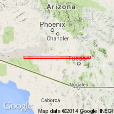
Not used in Silver Bell Mountains, Pima Co, AZ, Basin-and-Range province. Rocks previously called tuff of Mount Lord Volcanics by author in unpublished dissertation (1987, Univ. of Calif., Santa Barbara) here assigned to Cat Mountain Tuff. Mount Lord and Cat Mountain mapped in West Silver Bell Mountains. Geologic map.
Source: GNU records (USGS DDS-6; Denver GNULEX).
For more information, please contact Nancy Stamm, Geologic Names Committee Secretary.
Asterisk (*) indicates published by U.S. Geological Survey authors.
"No current usage" (†) implies that a name has been abandoned or has fallen into disuse. Former usage and, if known, replacement name given in parentheses ( ).
Slash (/) indicates name conflicts with nomenclatural guidelines (CSN, 1933; ACSN, 1961, 1970; NACSN, 1983, 2005, 2021). May be explained within brackets ([ ]).