

- Usage in publication:
-
- Mt. Laird Tuff*
- Modifications:
-
- Named
- Dominant lithology:
-
- Tuff
- AAPG geologic province:
-
- Great Basin province
Summary:
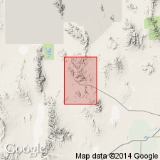
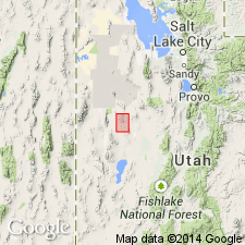
Named for excellent exposures near Mt. Laird in the Drum Mountains. Type locality designated in secs 23 and 26, T14S, R11W, Juab Co, UT in the Great Basin province. Consists of pink, rhyodacitic to quartz latitic ash-flow tuff with abundant euhedral crystals of large white plagioclase (10 mm long), large bronze biotite (5 mm across), hornblende and pyroxene. Source area northwest of Joy townsite. Includes an intrusive porphyry phase. Thickness at type is 80 m; ranges from 80 to 500 m thick. Is younger than an unnamed upper Eocene diorite. Overlies the Drum Mountains Rhyodacite; unconformably underlies the Joy Tuff (new). Assigned a late Eocene age (B1564).. Probably close to 39 m.y.
Source: GNU records (USGS DDS-6; Denver GNULEX).
- Usage in publication:
-
- Mt. Laird Tuff*
- Modifications:
-
- Overview
- AAPG geologic province:
-
- Great Basin province
Summary:
Overlies Drum Mountains Rhyodacite. Is unconformably overlain by Joy Tuff. Present (500 m thick) in subsurface east and northeast of Topaz Mountain. Includes tuffaceous sediments of probable lacustrine origin including black laminated carbonaceous mudstone containing pyrite, siltstone, sandstone and conglomerate interbedded with the ash-flow tuff. Of late Eocene (39 m.y.) age. In subsurface of Dugway Valley. In scattered outcrops northeast of Thomas Range, Great Basin province.
Source: GNU records (USGS DDS-6; Denver GNULEX).
For more information, please contact Nancy Stamm, Geologic Names Committee Secretary.
Asterisk (*) indicates published by U.S. Geological Survey authors.
"No current usage" (†) implies that a name has been abandoned or has fallen into disuse. Former usage and, if known, replacement name given in parentheses ( ).
Slash (/) indicates name conflicts with nomenclatural guidelines (CSN, 1933; ACSN, 1961, 1970; NACSN, 1983, 2005, 2021). May be explained within brackets ([ ]).