

- Usage in publication:
-
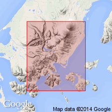
- Mount Hague volcanics*
- Modifications:
-
- Named
- Dominant lithology:
-
- Volcanics
- Volcaniclastics
- AAPG geologic province:
-
- Alaska Peninsula province
- Alaska Southwestern region
Summary:
[Named for Mount Hague in southwest part of Port Moller 1:250,000 quad, southwest AK.] [no type designated] Also referred to as Mount Hague agglomerate. Includes Volcano Bay basalt flow (new), informal flows and informal "Older Mt. Hague lava" on map legend. Occurs in area north of Long John and Dushkin Lagoons in upper part of Cathedral Valley and on slopes of Mt. Hague. Consists of flows and beds of agglomerate. [Unconformably] overlies, locally, Cathedral Valley agglomerate, Dushkin basalt, and Arch Point basalt (all new). [Unconformably] underlies alluvium. Age is Quaternary based on regional relations.
Source: GNU records (USGS DDS-6; Menlo GNULEX).
For more information, please contact Nancy Stamm, Geologic Names Committee Secretary.
Asterisk (*) indicates published by U.S. Geological Survey authors.
"No current usage" (†) implies that a name has been abandoned or has fallen into disuse. Former usage and, if known, replacement name given in parentheses ( ).
Slash (/) indicates name conflicts with nomenclatural guidelines (CSN, 1933; ACSN, 1961, 1970; NACSN, 1983, 2005, 2021). May be explained within brackets ([ ]).