The National Geologic Map Database is migrating to a new infrastructure. We apologize for any service disruptions during this process.
|
|---|


- Usage in publication:
-
- Mount Givens granodiorite*
- Modifications:
-
- Named
- Dominant lithology:
-
- Granodiorite
- AAPG geologic province:
-
- Sierra Nevada province
Summary:
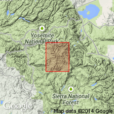
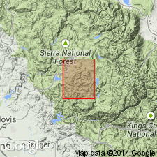
Named Mount Givens granodiorite. Crops out in area 10 miles wide and extends northwest for more than 30 miles. Typically light-gray biotite-hornblende granodiorite in which hornblende is in distinct small prisms and uniform over broad areas. Age is Cretaceous.
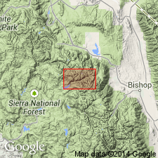
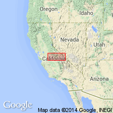
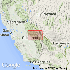
Named for occurrence around Mount Givens in Huntington Lake area. [Reference locality: exposures in vicinity of Mount Givens, Lat. 37 deg. 16 min. 45 sec. N., Long. 119 deg. 03 min. 17 sec. W., Kaiser Peak 15-min quadrangle (Mt. Givens 7.5-min quadrangle), Fresno Co., CA (P.C. Bateman, oral commun., 1985)].
Source: Modified from GNU records (USGS DDS-6; Menlo GNULEX).
- Usage in publication:
-
- Mount Givens Granodiorite*
- Modifications:
-
- Areal extent
- AAPG geologic province:
-
- Sierra Nevada province
Summary:
Mount Givens Granodiorite recognized in Merced Peak 15' quad, Merced Co, CA near Chiquito Creek.
Source: GNU records (USGS DDS-6; Menlo GNULEX).
- Usage in publication:
-
- Mount Givens Granodiorite*
- Modifications:
-
- Geochronologic dating
- AAPG geologic province:
-
- Sierra Nevada province
Summary:
Samples (locations shown on map) of Mount Givens Granodiorite yielded K-Ar ages on biotite and hornblende of 87 and 82 Ma.
Source: GNU records (USGS DDS-6; Menlo GNULEX).
- Usage in publication:
-
- Mount Givens Granodiorite*
- Modifications:
-
- Age modified
- AAPG geologic province:
-
- Sierra Nevada province
Summary:
Mapped in northeastern part of Huntington Lake 15' quad. Described as medium grained, equigranular, foliated. Grades locally into quartz monzonite. Contains many disc-shaped inclusions. Intrudes quartz monzonite of Dinkey Dome. Age changed from Cretaceous to Late Cretaceous based on K-Ar ages of 87 to 82 Ma [Kistler and others, 1965].
Source: GNU records (USGS DDS-6; Menlo GNULEX).
- Usage in publication:
-
- Mount Givens Granodiorite*
- Modifications:
-
- Geochronologic dating
- AAPG geologic province:
-
- Sierra Nevada province
Summary:
Included in Kaiser granitoid sequence. Samples 38 and 39 (locations shown on map) of Mount Givens Granodiorite yielded U-Pb ages of 92.8 to 87.6 Ma.
Source: GNU records (USGS DDS-6; Menlo GNULEX).
- Usage in publication:
-
- Mount Givens Granodiorite*
- Modifications:
-
- Revised
- AAPG geologic province:
-
- Sierra Nevada province
Summary:
Included as 2nd oldest unit of John Muir Intrusive Suite. Comprises about 1400 sq km; is elongate in northwestern direction, 80 km long and 17 km across S 2/3's and almost twice across a bulge at northern end. Consists of 2 facies (1) equigranular granodiorite and (2) megacrystic facies that is mostly granite but includes some granodiorite. Intrudes all granitoids along western and northern borders except granodiorites of Red Lake and Eagle Peak. On east is intruded by Lake Edison Granodiorite. Intrudes Lamarck Granodiorite. Age is early Late Cretaceous based on U-Pb ages of 93 and 88 Ma (Stern and others, 1981) and K-Ar ages of 89 to 84 Ma (Kistler and others, 1965). True age is about 90 Ma.
Source: GNU records (USGS DDS-6; Menlo GNULEX).
For more information, please contact Nancy Stamm, Geologic Names Committee Secretary.
Asterisk (*) indicates published by U.S. Geological Survey authors.
"No current usage" (†) implies that a name has been abandoned or has fallen into disuse. Former usage and, if known, replacement name given in parentheses ( ).
Slash (/) indicates name conflicts with nomenclatural guidelines (CSN, 1933; ACSN, 1961, 1970; NACSN, 1983, 2005, 2021). May be explained within brackets ([ ]).