

- Usage in publication:
-
- Mount Emily Dacite
- Modifications:
-
- Named
- Dominant lithology:
-
- Dacite
- Diorite
- AAPG geologic province:
-
- Klamath Mountains province
Summary:
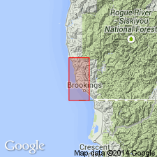
Type area designated as Mount Emily [T40N R12W], Mt. Emily 7.5' quad, Curry Co, OR. [Informally called Mount Emily dacitic intrusives by Dott (1971).] Composed of light-colored dacite, diorite, and syenite. Two large intrusive bodies form prominent mountain with radiating dike ridges. Unit intrudes Dothan Formation. Age is middle Oligocene.
Source: GNU records (USGS DDS-6; Menlo GNULEX).
For more information, please contact Nancy Stamm, Geologic Names Committee Secretary.
Asterisk (*) indicates published by U.S. Geological Survey authors.
"No current usage" (†) implies that a name has been abandoned or has fallen into disuse. Former usage and, if known, replacement name given in parentheses ( ).
Slash (/) indicates name conflicts with nomenclatural guidelines (CSN, 1933; ACSN, 1961, 1970; NACSN, 1983, 2005, 2021). May be explained within brackets ([ ]).