

- Usage in publication:
-
- Mount Davis volcanics*
- Modifications:
-
- Named
- Dominant lithology:
-
- Basalt
- Andesite
- Gravel
- AAPG geologic province:
-
- Great Basin province
- Plateau sedimentary province
Summary:
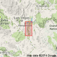
Named for Mount Davis, Mohave Co, AZ in the Plateau sedimentary province. Exposures near Mount Davis are designated the type locality. Mapped (geologic map) at many other localities in western Mohave Co and westward in Clark Co, NV in the Great Basin province. Rests with angular unconformity in Golden Door volcanics (new). Is a thick (4,000+ ft) assemblage of lavas (basalt, andesite), some pumiceous white tuff intercalated with coarse gravel. Measured sections. The gravel is very coarse, weakly cemented and made up of pebbles of Precambrian and of volcanic rocks. Breccia layers of Precambrian gneiss or of volcanic rocks at some localities. Coarse sediment increases northward. Tertiary age; shown on geologic map as ranging from Eocene? to Miocene?; shown as Miocene? on a table. Underlies Muddy Creek formation unconformably.
Source: GNU records (USGS DDS-6; Denver GNULEX).
- Usage in publication:
-
- Mount Davis Volcanics*
- Modifications:
-
- Geochronologic dating
- AAPG geologic province:
-
- Great Basin province
Summary:
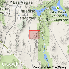
Has an average range of 10.9 to 14.6 m.y. age on basis of K-Ar dates of 13 samples, or Miocene. Has a mean age of 12.3 m.y. Includes a variety of volcanic rock (gray to black andesite in lower part, gray rhyodacite in middle part, dark-gray basalt in upper part). Geologic map covers Boulder City and Nelson quads, Clark Co, NV, Great Basin province. Younger than the tuff of Bridge Spring. Older than Muddy Creek Formation. Rocks mapped by Longwell (1963) as Fortification Basalt Member of Muddy Creek Formation 5 mi north-northeast of Nelson have a whole-rock K-Ar age of 13.8 m.y. and are mapped with the Mount Davis on the geologic map.
Source: GNU records (USGS DDS-6; Denver GNULEX).
For more information, please contact Nancy Stamm, Geologic Names Committee Secretary.
Asterisk (*) indicates published by U.S. Geological Survey authors.
"No current usage" (†) implies that a name has been abandoned or has fallen into disuse. Former usage and, if known, replacement name given in parentheses ( ).
Slash (/) indicates name conflicts with nomenclatural guidelines (CSN, 1933; ACSN, 1961, 1970; NACSN, 1983, 2005, 2021). May be explained within brackets ([ ]).