

- Usage in publication:
-
- Mount Athos greenstone
- Modifications:
-
- Named
- Dominant lithology:
-
- Greenstone
- Basalt
- Schist
- AAPG geologic province:
-
- Piedmont-Blue Ridge province
Summary:
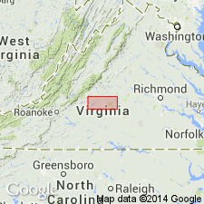
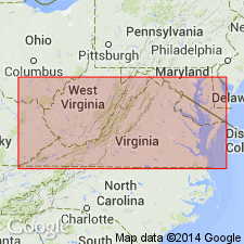
Mount Athos greenstone occurs at base of Precambrian of James River iron and marble belt. Probably named for Mount Athos. Extends over several counties east of Lynchburg. Consists of basaltic lava flows at base of Mount Athos formation; altered to greenstone schist.
Source: GNU records (USGS DDS-6; Reston GNULEX).
- Usage in publication:
-
- Mount Athos greenstone
- Modifications:
-
- Revised
- AAPG geologic province:
-
- Piedmont-Blue Ridge province
Summary:
Chronologic sequence of formations in James River synclinorium found to be the reverse of that interpreted by Furcron; Mount Athos greenstone overlies Mount Athos formation instead of underlying it.
Source: GNU records (USGS DDS-6; Reston GNULEX).
For more information, please contact Nancy Stamm, Geologic Names Committee Secretary.
Asterisk (*) indicates published by U.S. Geological Survey authors.
"No current usage" (†) implies that a name has been abandoned or has fallen into disuse. Former usage and, if known, replacement name given in parentheses ( ).
Slash (/) indicates name conflicts with nomenclatural guidelines (CSN, 1933; ACSN, 1961, 1970; NACSN, 1983, 2005, 2021). May be explained within brackets ([ ]).