

- Usage in publication:
-
- Motts Gneiss
- Modifications:
-
- Named
- Dominant lithology:
-
- Gneiss
- AAPG geologic province:
-
- Piedmont-Blue Ridge province
Summary:
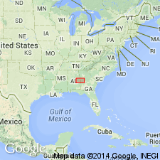
Name credited to unpublished report on Lee Co., east-central AL, by Bentley. Probably named for community of Motts. Described as a 2-mi-wide band of leucocratic pencil gneiss with local linear masses of amphibolite. Mineralogically, it is a quartz-rich leucocratic quartz diorite; amphibolites have been recrystallized by cataclastic to epidote amphibolite. Most characteristic feature is its weathering product, a saprolite with spindly fragments. Nature of contacts and age not stated [probably early Paleozoic].
Source: GNU records (USGS DDS-6; Reston GNULEX).

- Usage in publication:
-
- Motts Gneiss
- Modifications:
-
- Overview
- AAPG geologic province:
-
- Piedmont-Blue Ridge province
Summary:
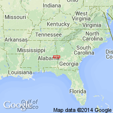
Type locality given as exposures near community of Motts, T18N, R29E, sec. 9, Lee Co., AL. Present along southeast edge of Goat Rock fault zone. Good exposures at Dunken and Little Uchee Creeks; typical exposures occur along Shotwell-Meadows Crossroads road. Amphibolite mylonite is best exposed below dam on Little Uchee Creek at site of old Moffits Mill. Report includes correlation chart.
Source: GNU records (USGS DDS-6; Reston GNULEX).
- Usage in publication:
-
- Motts Gneiss*
- Modifications:
-
- Overview
- AAPG geologic province:
-
- Piedmont-Blue Ridge province
Summary:
Authors follow usage of Bentley and Neathery (1970) who subdivided the Uchee belt into Motts Gneiss, Uchee Complex, and Moffits Mill Complex (revised as Moffits Mill Schist by Thompson and Neathery, 1980). Report includes geologic map.
Source: GNU records (USGS DDS-6; Reston GNULEX).
For more information, please contact Nancy Stamm, Geologic Names Committee Secretary.
Asterisk (*) indicates published by U.S. Geological Survey authors.
"No current usage" (†) implies that a name has been abandoned or has fallen into disuse. Former usage and, if known, replacement name given in parentheses ( ).
Slash (/) indicates name conflicts with nomenclatural guidelines (CSN, 1933; ACSN, 1961, 1970; NACSN, 1983, 2005, 2021). May be explained within brackets ([ ]).