- Usage in publication:
-
- Mosley Hill formation
- Modifications:
-
- Original reference
- Dominant lithology:
-
- Clay
- Mudstone
- AAPG geologic province:
-
- Arkla basin
Summary:
Pg. 700-707. Mosley Hill formation. Name proposed for the dark-blue to brown lignitic and carbonaceous micaceous fossiliferous and arenaceous clays and mudstones which are, at least partly equivalent to the type Vicksburg. Thickness varies from less than 200 feet to more than 400 feet. Overlies Danville Landing or Shubata and underlies Chickasawhay or Catahoula formations. East of type locality, Mosley Hill changes facies and is replaced, in part, by calcareous sediments of Vicksburg stage. [Age is Oligocene.]
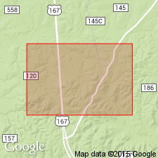
Type exposure: consists of those exposures on and around Mosley Hill, in secs. 2, 3, 4, 9, 10, and 11, T. 8 N., R. 2 W., Grant Parish, northern LA.
Source: US geologic names lexicon (USGS Bull. 1200, p. 2614-2615).

- Usage in publication:
-
- Mosley Hill formation
- Modifications:
-
- Revised
- AAPG geologic province:
-
- Arkla basin
Summary:
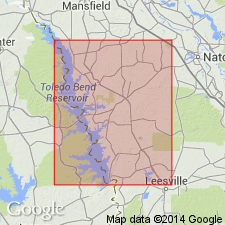
Pg. 100-102. Mosley Hill formation. Delaney (1958, unpub. thesis) restudied Mosley Hill type locality. He reported presence of three mappable units (two silty clay units separated by a sand) between Danville Landing and Catahoula. He restricted Mosley Hill to basal unit (which is unit exposed at Mosley HIll): the ovelying sand; he named Sandel formation; uppermost fossiliferous clays and siltstones between Sandel and Catahoula he named Rosefield formation. Mosley Hill as restricted by Delaney is nonfossiliferous gypsiferous interbedded clay and silty sand unit, estimated by Delaney to be 55 feet thick in eastern and central Sabine Parish. Sandel and Mosley Hill lie within transitional zone between Eocene and Oligocene and are difficult to date. Delaney depicted Mosley Hill as interfingering with Danville Landing beds which carry Jackson fauna. Mosley Hill is herein included in Jackson group and Eocene-Oligocene boundary mapped at base of Sandel. Comparative outcrops of Mosley Hill in Sabine Parish cited by Murray (1952) restudied, and sediment exposed along U.S. Highway 171 in sec. 31, T. 5 N., R. 10 W., Sabine Parish, is redesignated as alternate type locality for Nash Creek formation (Oligocene). Bulk of sediments at North Lucius Branch (Murray, 1952) is equivalent to Mosley Hill formation as redefined by Delaney and herein considered to be upper Jackson. [Age is late Eocene.]
Source: US geologic names lexicon (USGS Bull. 1200, p. 2614-2615).
For more information, please contact Nancy Stamm, Geologic Names Committee Secretary.
Asterisk (*) indicates published by U.S. Geological Survey authors.
"No current usage" (†) implies that a name has been abandoned or has fallen into disuse. Former usage and, if known, replacement name given in parentheses ( ).
Slash (/) indicates name conflicts with nomenclatural guidelines (CSN, 1933; ACSN, 1961, 1970; NACSN, 1983, 2005, 2021). May be explained within brackets ([ ]).

