- Usage in publication:
-
- Morrow formation*
- Modifications:
-
- Original reference
- Dominant lithology:
-
- Shale
- Limestone
- Sandstone
- AAPG geologic province:
-
- Arkoma basin
Summary:
Pg. 109-113. Morrow formation. Variable formation of shales with some thin limestones and occasional sandstones. Basal portion usually sandstone or sandy shale. Includes (ascending order) the following divisions of Arkansas Geol. Survey: Washington shale and sandstone; Brentwood (Pentremital) limestone; coal-bearing shale; Kessler limestone; and unnamed bed of shales and sandstones, 5 to 20 feet thick, the upper limit of which is rather indefinite but at many places is marked by presence of heavy sandstones carrying quartz pebbles. Underlies Winslow formation or Millstone grit. Overlies Pitkin limestone. Age is Pennsylvanian (Pottsville).
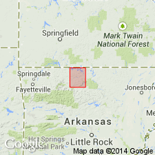
Named from Morrow, Washington Co., AR.
Source: US geologic names lexicon (USGS Bull. 896, p. 1424-1425).

- Usage in publication:
-
- Morrow group*
- Modifications:
-
- Revised
- AAPG geologic province:
-
- Arkoma basin
Summary:
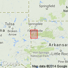
Morrow group. In northwestern Arkansas, divided into two formations, the lower one, consisting of sandstone and shale, called Hale formation, and the upper one, consisting of carbonaceous shale with two limestone lentils (Brentwood and Kessler), called Bloyd shale. Underlies Winslow formation and overlies Pitkin limestone. Age is Pennsylvanian (Pottsville).
Source: US geologic names lexicon (USGS Bull. 896, p. 1424-1425).

- Usage in publication:
-
- Morrow group*
- Morrow formation*
- Modifications:
-
- Overview
Summary:
Morrow group (southeastern Arkansas); Morrow formation (east-central and northeastern Oklahoma). In northeastern Oklahoma, is unconformably overlain by Cherokee shale. Age is Pennsylvanian (Pottsville).
Source: US geologic names lexicon (USGS Bull. 896, p. 1424-1425).

- Usage in publication:
-
- Morrow group
- Modifications:
-
- Areal extent
Summary:
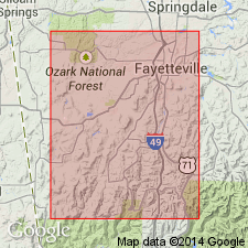
1935-1945. Morrow group. Group comprises lower division of Pennsylvanian of Ozark Highlands in Arkansas and Oklahoma. Consists of limestone and clastic sediments. In Washington County, Arkansas, where it has its most complete development, it is 300 to 400 feet thick. Comprises Hale formation below and Bloyd shale above. Overlies rocks of late Mississippian age; underlies Atoka formation.
Source: US geologic names lexicon (USGS Bull. 1200, p. 2605-2607).
For more information, please contact Nancy Stamm, Geologic Names Committee Secretary.
Asterisk (*) indicates published by U.S. Geological Survey authors.
"No current usage" (†) implies that a name has been abandoned or has fallen into disuse. Former usage and, if known, replacement name given in parentheses ( ).
Slash (/) indicates name conflicts with nomenclatural guidelines (CSN, 1933; ACSN, 1961, 1970; NACSN, 1983, 2005, 2021). May be explained within brackets ([ ]).

