

- Usage in publication:
-
- Morrow Creek member*
- Modifications:
-
- Named
- Dominant lithology:
-
- Limestone
- Sandstone
- AAPG geologic province:
-
- Green River basin
Summary:
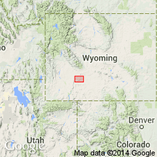
Named as a member of Green River formation for extensive exposures on Morrow Creek, T25N, R104W, Sweetwater Co, WY in the Greater Green River basin. Mapped (geologic maps) along west and north borders of map of northern Sweetwater Co where it underlies Laney shale member of Green River. No type locality designated. Consists of buff sandy limestone and buff sandstone. Includes a small amount of brown paper shale, occasional alga reef or pisolite. Ranges from 100 to 300 ft. Plant impressions abundant locally. Section 324 ft thick measured in sec 17, T23N, R102W where member described as mostly carbonaceous, black to papery brown, green gray shale interbedded with sandy or shaly limestone beds in lower 60 ft, and buff to gray, soft shaly to hard sandstone and several shaly limestone and sandy shale beds, and one pisolite bed in upper part. Of Eocene age. Cross section.
Source: GNU records (USGS DDS-6; Denver GNULEX).
- Usage in publication:
-
- Morrow Creek member*
- Modifications:
-
- Revised
- AAPG geologic province:
-
- Green River basin
Summary:
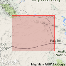
Is a sequence about 180 ft thick that is the upper part of the Green River formation in the Great Divide basin, Sweetwater Co, WY, Greater Green River basin. Overlies the Battle Spring formation, a newly named formation of the Cyclone Rim area. Battle Spring is a coarse-grained to pebbly arkosic sandstone that intertongues with the Wasatch formation and most of the Green River formation in this area. Contact with underlying Cathedral Bluffs tongue of Wasatch is concealed. Conformably underlies Bridger formation. Has middle Eocene mollusks. Cross section.
Source: GNU records (USGS DDS-6; Denver GNULEX).
- Usage in publication:
-
- Morrow Creek member*†
- Modifications:
-
- Abandoned
- AAPG geologic province:
-
- Green River basin
Summary:
Abandoned as a member of the Green River formation. Is equivalent to Laney shale member of Green River and is replaced by that name.
Source: GNU records (USGS DDS-6; Denver GNULEX).
For more information, please contact Nancy Stamm, Geologic Names Committee Secretary.
Asterisk (*) indicates published by U.S. Geological Survey authors.
"No current usage" (†) implies that a name has been abandoned or has fallen into disuse. Former usage and, if known, replacement name given in parentheses ( ).
Slash (/) indicates name conflicts with nomenclatural guidelines (CSN, 1933; ACSN, 1961, 1970; NACSN, 1983, 2005, 2021). May be explained within brackets ([ ]).