- Usage in publication:
-
- Morenci shales*
- Modifications:
-
- Named
- Dominant lithology:
-
- Shale
- Limestone
- AAPG geologic province:
-
- Basin-and-Range province
Summary:
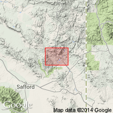
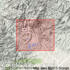
Named presumably for Morenci, Greenlee Co, AZ of Basin-and-Range province. Also called Morenci formation on geologic map. No type locality designated. Mapped as separate exposures at Morenci, near Hackberry Spring, Shannon Mountain, east side Malpais Mountain, near Garfield Gulch, and north of Coronado Mountain on geologic map. Consists of 100 ft of black clay shales underlain by 75 ft of black, argillaceous limestone. Overlies Longfellow limestone or formation (new) of Ordovician age, and overlain by Modoc limestone (new) of Carboniferous age. Is of Devonian? age. Fossil corals, crinoids, mollusks, brachiopods.
Source: GNU records (USGS DDS-6; Denver GNULEX).

- Usage in publication:
-
- Morenci shale
- Modifications:
-
- Age modified
- AAPG geologic province:
-
- Basin-and-Range province
Summary:
Of Clifton-Morenci area, AZ in the Basin-and-Range province. Called Upper Devonian. Correlates with Percha formation.
Source: GNU records (USGS DDS-6; Denver GNULEX).

- Usage in publication:
-
- Morenci Shale*
- Modifications:
-
- Age modified
- AAPG geologic province:
-
- Basin-and-Range province
Summary:
Of Clifton-Morenci area, AZ in the Basin-and-Range province; is probably an extension of Percha Shale of NM. Its exact correlation with Devonian formations of central AZ has not yet been established. Is of Devonian age.
Source: GNU records (USGS DDS-6; Denver GNULEX).
For more information, please contact Nancy Stamm, Geologic Names Committee Secretary.
Asterisk (*) indicates published by U.S. Geological Survey authors.
"No current usage" (†) implies that a name has been abandoned or has fallen into disuse. Former usage and, if known, replacement name given in parentheses ( ).
Slash (/) indicates name conflicts with nomenclatural guidelines (CSN, 1933; ACSN, 1961, 1970; NACSN, 1983, 2005, 2021). May be explained within brackets ([ ]).

