

- Usage in publication:
-
- Morehouse quartzite*
- Modifications:
-
- Named
- Dominant lithology:
-
- Quartzite
- AAPG geologic province:
-
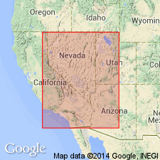
- Great Basin region
Summary:
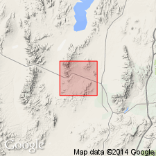
Named for Morehouse Canyon, T26N, R13W, Beaver Co, UT in the Great Basin region. No type locality designated. Major part occurs on east side of San Francisco Mountains. Another quartzite in the Star Ranger to southeast is tentatively identified as Morehouse. Gradationally overlies Grampian limestone (new) of Cambrian? and Ordovician age. The lower contact is a limy shale (Grampian) with white quartzite (Morehouse). Is about 2,000 ft thick. In Barrel and Morehouse Canyons consists of a basal 450 ft thick, heavy-bedded, fine-grained, white (gray-weathering), dense quartzite and an upper 1450 ft thick, pink quartzite. Overlain by the Red Warrior limestone (new) of Silurian? and Devonian? age. The contact represents a change from quartzite (Morehouse) to limestone (Red Warrior). Deposited near shoreline of a large land area of considerable relief. No diagnostic fossils found. Assigned to the Ordovician and Silurian?. Geologic map; columnar section.
Source: GNU records (USGS DDS-6; Denver GNULEX).
- Usage in publication:
-
- Morehouse quartzite*
- Modifications:
-
- Age modified
- AAPG geologic province:
-
- Great Basin region
Summary:
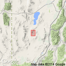
Assigned in part to Silurian but it is probably also of Cambrian age at Gold Hill, Tooele Co, UT, Great Basin region. No evidence given.
Source: GNU records (USGS DDS-6; Denver GNULEX).
- Usage in publication:
-
- Morehouse Quartzite
- Modifications:
-
- Not used
Summary:
Author believes that the quartzite in the San Francisco Mountains is not of Ordovician and Silurian? age and that it is not a correlative of the Middle Ordovician Eureka Quartzite as has been suggested in earlier literature. The author believes Morehouse is equivalent to the upper Precambrian? and Lower Cambrian Prospect Mountain Quartzite for the following reasons: 1) its thickness is comparable with Prospect Mountain; 2) its lithology is typical of Prospect Mountain; and 3) presence of Cambrian formations above the quartzite. Morehouse is thought to rest on a thrust fault. The Grampian limestone, thought by Butler (1913) to gradationally underlie the Morehouse, is considered equivalent to rocks between some unnamed Cambrian limestones and the top of the Ely Limestone of Pennsylvanian age. Name Morehouse not used. [Morehouse, if used, would lie in the Great Basin region, the Precambrian province, and in the Great Basin province, the Cambrian province.]
Source: GNU records (USGS DDS-6; Denver GNULEX).
For more information, please contact Nancy Stamm, Geologic Names Committee Secretary.
Asterisk (*) indicates published by U.S. Geological Survey authors.
"No current usage" (†) implies that a name has been abandoned or has fallen into disuse. Former usage and, if known, replacement name given in parentheses ( ).
Slash (/) indicates name conflicts with nomenclatural guidelines (CSN, 1933; ACSN, 1961, 1970; NACSN, 1983, 2005, 2021). May be explained within brackets ([ ]).