

- Usage in publication:
-
- Moqui member
- Modifications:
-
- Original reference
- Dominant lithology:
-
- Siltstone
- Claystone
- Mudstone
- Sandstone
- Limestone
- AAPG geologic province:
-
- Plateau sedimentary province
Summary:
Pg. 18, 19. Moqui member of Moenkopi formation. Siltstones and claystones, most of them shaly or fissile, and gypsum beds, lenses, nodules, and veins. Strata dominantly olive gray, though pale reddish brown locally common. Thickness, as shown on table, ranges from 20 to 144 feet. Generally light color in contrast to red brown of Wupatki member below and Holbrook member above. Units here called Wupatki and Moqui were referred to as Salt Creek by Hager (1922, Mining and Oil Bull., v. 8, no. 2). [Age is late Early and possibly early Middle Triassic.]
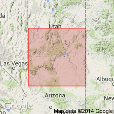
[Type locality not stated. Named from Moqui Wash, Little Colorado River valley, Coconino Co., northeastern AZ.] Exposed in Poverty Tank-Concho area, northeastern AZ.
Source: US geologic names lexicon (USGS Bull. 1200, p. 2584); supplemental information from GNU records (USGS DDS-6; Denver GNULEX).
For more information, please contact Nancy Stamm, Geologic Names Committee Secretary.
Asterisk (*) indicates published by U.S. Geological Survey authors.
"No current usage" (†) implies that a name has been abandoned or has fallen into disuse. Former usage and, if known, replacement name given in parentheses ( ).
Slash (/) indicates name conflicts with nomenclatural guidelines (CSN, 1933; ACSN, 1961, 1970; NACSN, 1983, 2005, 2021). May be explained within brackets ([ ]).