- Usage in publication:
-
- Moorefield formation*
- Modifications:
-
- Revised
- AAPG geologic province:
-
- Arkoma basin
Summary:
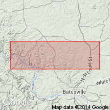
Name restricted to lower calcareous beds (Spring Creek limestone member of earlier workers). What was the upper fissile clay shale member of the Moorefield is now assigned to newly named Ruddell shale. Restricted Moorefield outcrops in various places in area of Batesville district, Independence Co, AR, Arkoma basin including north of White River and in vicinity of Moorefield; its westernmost exposure is at O'Neal on the White River. Restricted Moorefield consists of dark-gray to black, calcareous shale and limestone interbedded with chert along Pfeiffer fault; amount of chert increases north of and decreases south of Pfeiffer fault. Range of thickness is from thin edge to 200 ft. Unconformably overlies Boone chert. Fossils listed. Correlates with St. Louis limestone in Mississippi Valley. Assigned early late Visean (Carboniferous) age based on fossils.
Source: GNU records (USGS DDS-6; Denver GNULEX).

- Usage in publication:
-
- Moorefield formation
- Modifications:
-
- Revised
- Overview
- AAPG geologic province:
-
- Arkoma basin
- Chautauqua platform
Summary:
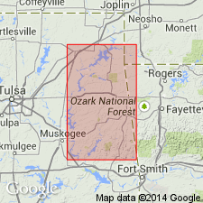
Assigned as the basal formation of the Mayes group (rank raised). Overlies Keokuk formation unconformably. Underlies Hindsville formation, upper formation of Mayes group unconformably. Divided into 4 newly named members (ascending order): Tahlequah, Bayou Manard, Lindsey Bridge, and Ordnance Plant. Mapped (5 geologic maps) in Craig, Mayes, Cherokee, Adair, Muskogee, and Sequoyah Cos., OK; these counties lie in the Arkoma basin and on the Chautauqua platform. Measured sections. Of Meramecian, [Late] Mississippian age.
Source: GNU records (USGS DDS-6; Denver GNULEX).

- Usage in publication:
-
- Moorefield Formation
- Modifications:
-
- Revised
- AAPG geologic province:
-
- Arkoma basin
Summary:
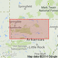
Term Moorefield Formation used for basal formation of Mayes Group in northern AR, Arkoma basin. Overlies Boone Formation; underlies Batesville Sandstone, upper formation of Mayes Group. Nomenclature chart. Cross section. Moorefield as used in this report includes rocks that Gordon (1944) removed from the upper Moorefield and named Ruddell Shale. Author believes the Moorefield-Ruddell contact described by Gordon is neither consistent nor traceable. Name Ruddell Shale abandoned. Lower and upper contacts of Moorefield are the same as those used prior to Gordon's work. Moorefield considered of Late Mississippian, Meramec age.
Source: GNU records (USGS DDS-6; Denver GNULEX).
For more information, please contact Nancy Stamm, Geologic Names Committee Secretary.
Asterisk (*) indicates published by U.S. Geological Survey authors.
"No current usage" (†) implies that a name has been abandoned or has fallen into disuse. Former usage and, if known, replacement name given in parentheses ( ).
Slash (/) indicates name conflicts with nomenclatural guidelines (CSN, 1933; ACSN, 1961, 1970; NACSN, 1983, 2005, 2021). May be explained within brackets ([ ]).

