- Usage in publication:
-
- Moonshine Gulch Quartzite*
- Modifications:
-
- Named
- Dominant lithology:
-
- Quartzite
- Slate
- AAPG geologic province:
-
- Midcontinent region
Summary:
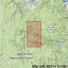
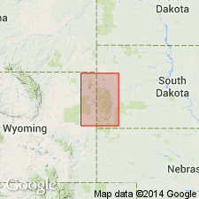
Named for Moonshine Gulch in sec 13, T2N, R3E, its type locality, Pennington Co, SD in the Midcontinent region. Forms core of southwest-plunging anticline in northwest and crops out in a wide belt as the off-center core of the Rochford anticlinorium. Composed mainly of dark, nearly black, thick- to thin-bedded vitreous quartzite and gray- and black-banded slate. Slate is sericitic to micaceous, and dark layers are graphitic. Pyrite present as disseminated grains in some of the quartzite and as thin deformed flakes in foliated slate. Very generalized lithologic description. Areal limits beyond report boundaries not discussed. Is cut by numerous sill-like mafic dikes. Is the oldest unit of the district. Underlies Irish Gulch Slate (new) conformably. Equivalent to Ellison, Homestake, and Poorman Formations of the Lead area. Of middle Precambrian age. Geologic map.
Source: GNU records (USGS DDS-6; Denver GNULEX).

- Usage in publication:
-
- Moonshine Gulch Quartzite*
- Modifications:
-
- Age modified
- AAPG geologic province:
-
- Midcontinent region
Summary:
Mapped with Early Proterozoic quartzite unit Xq (Pl. 1) in the Rochford area, Pennington Co, SD in Midcontinent region. Geologic map.
Source: GNU records (USGS DDS-6; Denver GNULEX).
For more information, please contact Nancy Stamm, Geologic Names Committee Secretary.
Asterisk (*) indicates published by U.S. Geological Survey authors.
"No current usage" (†) implies that a name has been abandoned or has fallen into disuse. Former usage and, if known, replacement name given in parentheses ( ).
Slash (/) indicates name conflicts with nomenclatural guidelines (CSN, 1933; ACSN, 1961, 1970; NACSN, 1983, 2005, 2021). May be explained within brackets ([ ]).

